Catalog Archive
Auction 141, Lot 149
"VII Map of the United States", Mitchell, Samuel Augustus
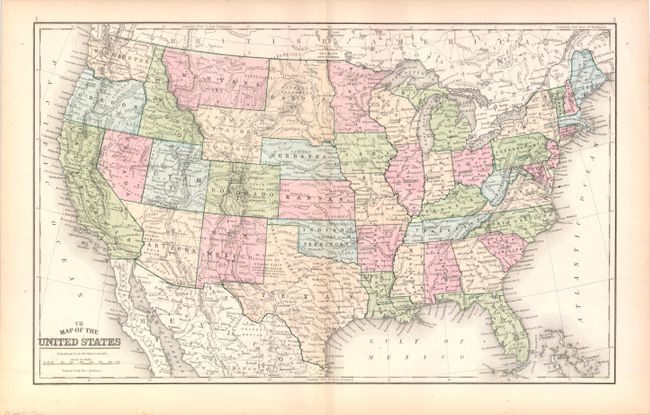
Subject: United States
Period: 1889 (circa)
Publication:
Color: Printed Color
Size:
17.3 x 10.8 inches
43.9 x 27.4 cm
Download High Resolution Image
(or just click on image to launch the Zoom viewer)
(or just click on image to launch the Zoom viewer)