Subject: Atlases
Period: 1822 (published)
Publication:
Color: Hand Color
Size:
14.5 x 21.5 inches
36.8 x 54.6 cm
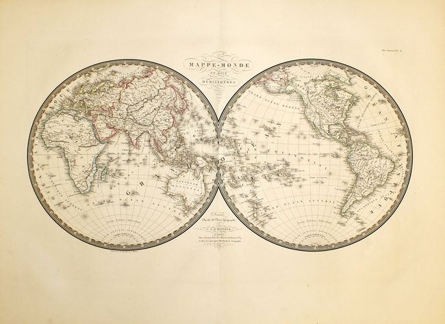
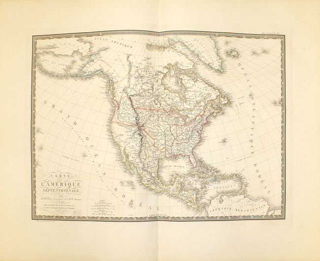
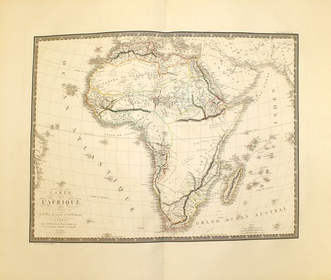
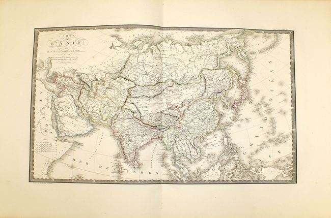
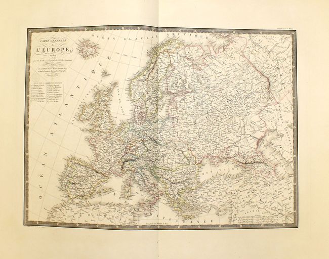
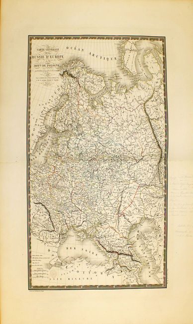
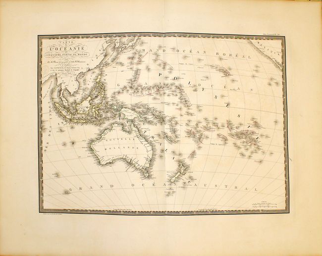
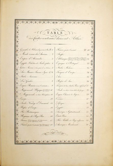
This complete atlas has a Table of Contents that calls for 36 maps, but in fact contains 40 double-page maps. The contents call for separate maps of east and west France, but has instead a single large folding map of France. It also has 5 maps not listed in the Table of Contents: Russia & northern Europe, England & Wales, northern Africa, eastern US, and northern South America. The atlas contains two world maps, maps of each continent, maps of the ancient world, and great maps of the United States, North America, and Mexico that includes all of the Southwest. All of the maps bear the imprint "Gravée sous le direction de l'auteur" as well as Brue's embossed seal "Carte encyprotipe du fonds de l'auteur," and are beautifully engraved and surrounded by a decorative keyboard border.
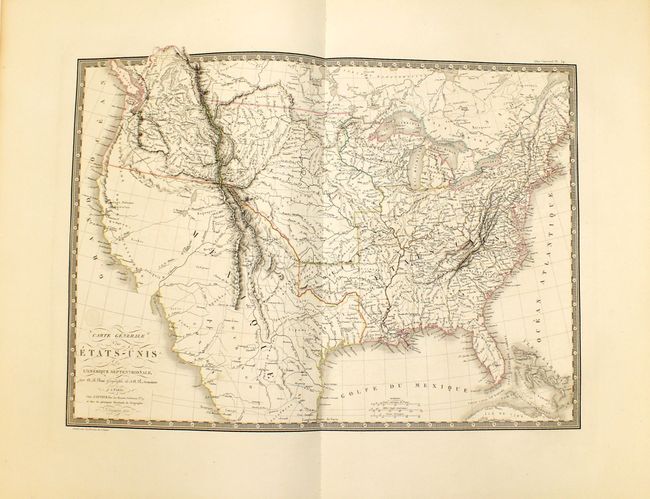
The map Carte Generale des Etats-Unis de l'Amerique Septentrionale (cf Wheat TMW #336) was probably based on work of Arrowsmith and Melish with information from the Lewis & Clark and Humbolt's expeditions. This handsome and finely engraved map covers the United States with most of Mexico and a bit of Canada. The United States are shown with their claims into British Columbia (District de la Colombia) and Spain still controls all of Texas and the Southwest, most of which is blank with only conjectural topography shown. The West also features some fictitious rivers, including the R. Buenaventura, flowing from the Rockies into L. Teguayo, and the dotted R. St. Phelipe flowing from that lake into the Pacific at Monterey. Farther south the Rio de las Pyramydes is suggested near the short R. de los Martires, both of which appear to go nowhere.
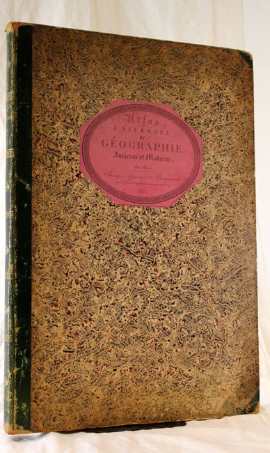
Half green leather with gilt titling and designs on spine, marbled paper-covered boards with title engraved on a pink label on front cover.
References:
Condition: B+
Maps have beautiful original color with wide margins and are in near fine to very good condition with faint offsetting, light toning along sheet edges and an occasional small spot. Both maps of western Russia have pencil notations in blank margins. Hinges are starting. Spine and covers are worn and stained with bumped corners and tails.