Catalog Archive
Auction 140, Lot 835
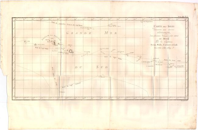
"Carte des Isles Decouvertes aux Environs d'Otahiti, dans Plusieurs Voyages Faits Autour du Monde Par Les Capitaines Byron, Wallis, Carteret et Cook. En. 1765.1767.1769", Benard, Robert
Subject: South Pacific Ocean, Tahiti
Period: 1775 (circa)
Publication: Relation des Voyages Entrepris par Ordre de sa Majeste Britannique…
Color: Black & White
Size:
20.3 x 9.5 inches
51.6 x 24.1 cm
Download High Resolution Image
(or just click on image to launch the Zoom viewer)
(or just click on image to launch the Zoom viewer)