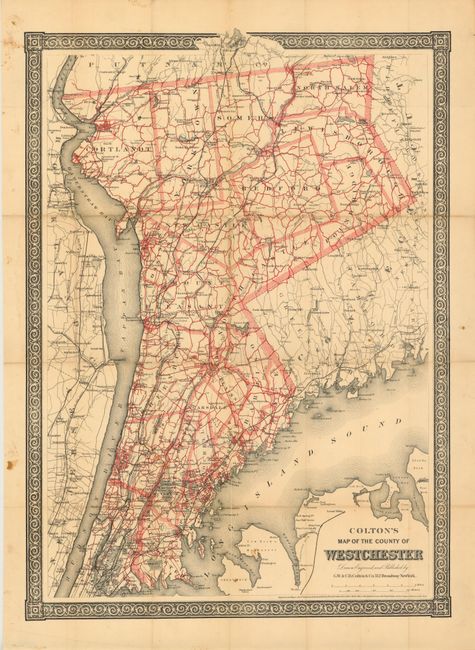
Subject: Westchester County, New York
Period: 1867 (dated)
Publication:
Color: Printed Color
Size:
16.5 x 23 inches
41.9 x 58.4 cm
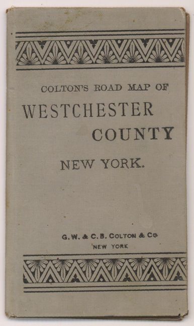
This map shows Westchester county divided into its municipalities and covers the area from just north of Manhattan to Mahopac in Putnam County. There is good detail of towns, cities, roads and railroads and portions of Long Island, New Jersey and Connecticut are also depicted. Surrounded by a decorative border. The map was originally issued in gray hard board covers (measuring 3.7 x 6.3") which are included, although the map is no longer attached to the boards.
References:
Condition: B
Originally issued folding, the map has been flattened and backed with tissue to reinforce and repair some fold separations and minor loss at fold intersections. Light toning along a the folds with a few small spots and one ink notation in the image.