Catalog Archive
Auction 140, Lot 260

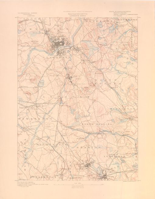
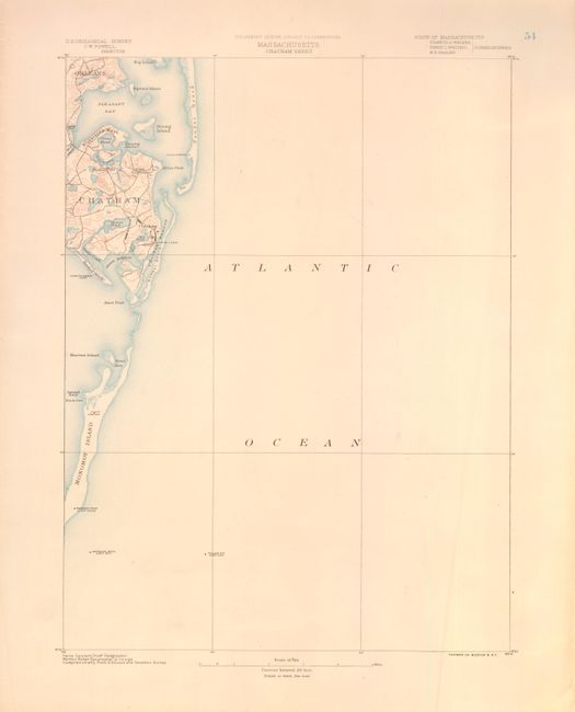
"[Lot of 2] Massachusetts Lawrence Sheet [and] Massachusetts Chatham Street", Powell, John Wesley

Subject: Massachusetts

Period: 1890 (published)

Publication:

Color: Printed Color

Size:
13 x 17.5 inches
33 x 44.5 cm
Download High Resolution Image
(or just click on image to launch the Zoom viewer)

These two maps were published in 1890 by the U.S. Geological Survey. The first sheet covers Lawrence in the North, Andover in the center, and Reading and Wakefield in the South. The second sheet covers Chatham and vicinity in Cape Cod along the Atlantic coast. Pleasant Bay, Nauset Beach, and Monomoy Island are shown. The Atlantic Ocean occupies much of the map. Street patterns and buildings are shown in the towns.

References:

Condition: A

Both sheets are printed on heavy paper with just a hint of toning.

Estimate: $140 - $170

Unsold

Closed on 5/23/2012

Archived