Catalog Archive
Auction 139, Lot 785

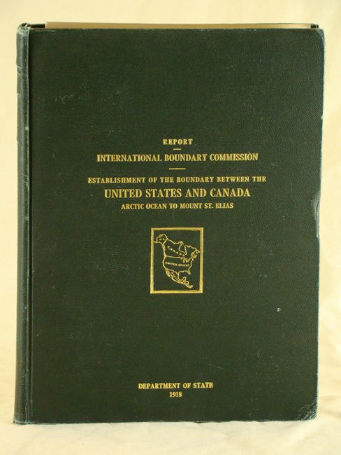
"Joint Report upon the Survey and Demarcation of the International Boundary between the United States and Canada…", U.S. Government

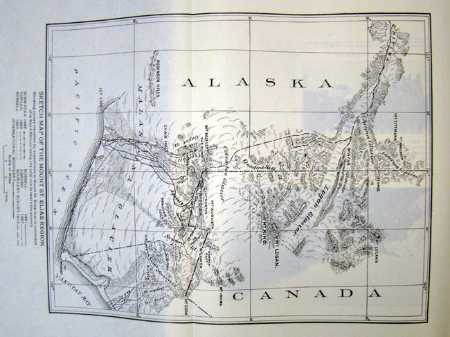
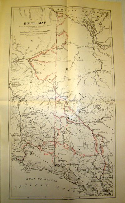
Subject: Miscellaneous Books - Alaska and Canada

Period: 1918 (published)

Publication:

Color: Printed Color

Size:
9.5 x 12.3 inches
24.1 x 31.2 cm
Download High Resolution Image
(or just click on image to launch the Zoom viewer)

Report of the international boundary between the United States and Canada along the 141st Meridian. Quarto, 307 pp. with numerous photographs of features along the Alaska and Canada boundary, folding maps of region of Mt. St. Elias and Mt. Logan (2nd and 3rd highest mountains in North America), and a map showing the routes of access to the boundary, from Dawson City, Y.T, Skagway, Wwhitehorse, Fairbanks, to the Arctic Ocean. There are also six long fold-out photographic panoramas of mountains and glaciers in the Saint Elias and Wrangell Mountains. Hardbound in green pebbled cloth with gilt lettering on front cover and spine.

References:

Condition: B+

Pages are mostly clean and tight. Hinge is starting and the cover shows some light shelf wear and bumped edges.

Estimate: $200 - $250

Sold for: $125

Closed on 2/15/2012

Archived