Subject: Atlases
Period: 1867 (published)
Publication:
Color: Hand Color
Size:
15 x 18.5 inches
38.1 x 47 cm
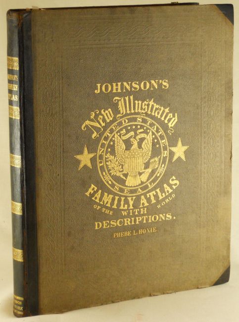
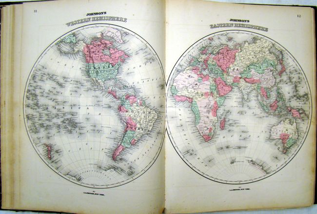
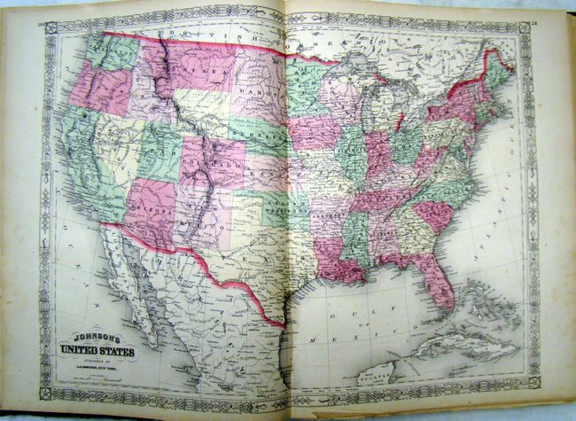
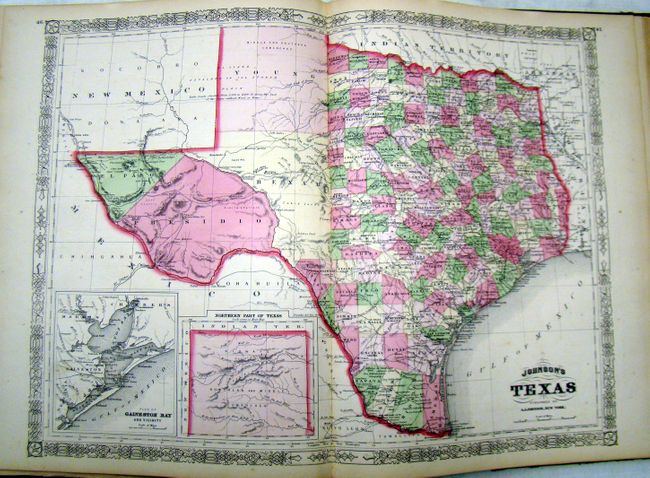
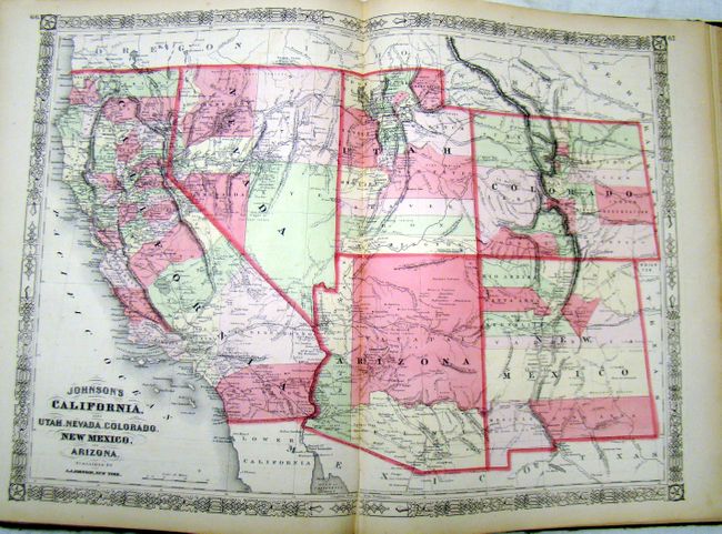
Complete large folio atlas including a lovely, steel engraved frontispiece of the U.S. Capitol. Contains three colorful thematic maps and charts including an uncommon length of rivers and height of mountains chart and a great double-page "New Chart of National Emblems," with a very colorful set of national flags. Also contains the Civil War "Map of the Vicinity of Richmond and Peninsular Campaign in Virginia," a nice double-page map of Texas and the large "California, also Utah, Nevada, Colorado, New Mexico and Arizona" map. With all called-for maps in the list including 42 double-page and 19 single-page sheets. Hardbound in original half calf over embossed cloth with gilt title on cover and spine and marbled endpapers.
References:
Condition: B+
Overall very good condition. The left page of the map of New York has separated and has a tear in the blank margin. The map of New York City has a tear along the top and bottom centerfold. The last eight maps in the atlas have a small puncture in the lower blank margin that does not enter image. Title page shows some scattered foxing and there is isolated foxing throughout, as expected. The covers show some wear and the corners are bumped, but contents are tight.