Catalog Archive
Auction 139, Lot 43

"A New Map of the World, on Mercators Projection", Anon.
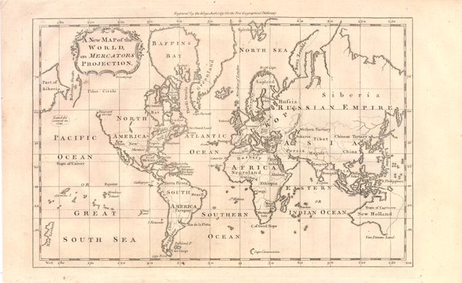
Subject: World

Period: 1760 (circa)

Publication: New Geographical Dictionary

Color: Black & White

Size:
11.3 x 7.5 inches
28.7 x 19.1 cm
Download High Resolution Image
(or just click on image to launch the Zoom viewer)

This attractive chart of the world is presented on Mercator's Projection. The Virginia and North Carolina boundaries extend beyond the Mississippi River with the North Carolina boundary shown all the way to the Pacific. Most of western North America is left blank but dotted lines speculate on the possibility of a navigable River of the West. Only the western Australian coastline is shown and Tasmania is still attached to the mainland. Published in Coote's New Geographical Dictionary.

References:

Condition: A

Estimate: $100 - $130

Sold for: $110

Closed on 2/15/2012

Archived