Subject: London, England
Period: 1827 (dated)
Publication:
Color: Hand Color
Size:
73 x 49.8 inches
185.4 x 126.5 cm
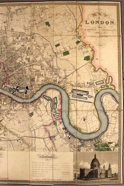
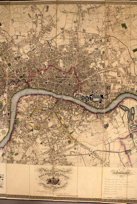
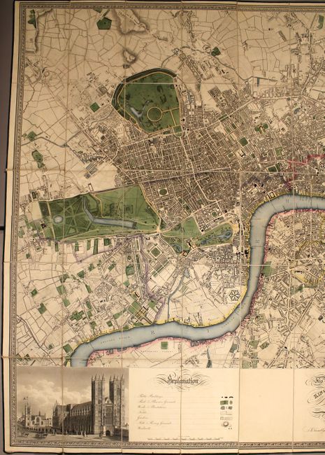
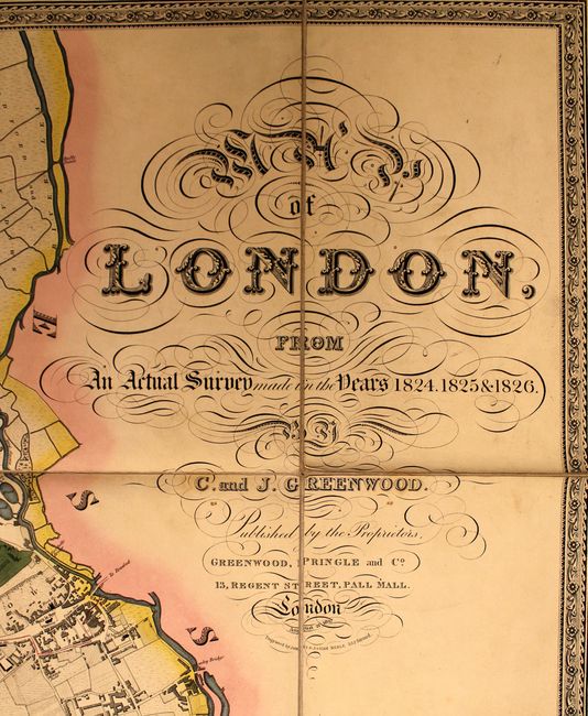
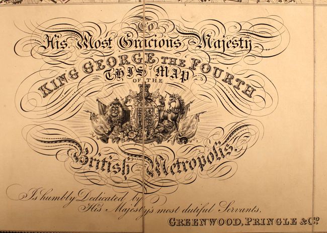
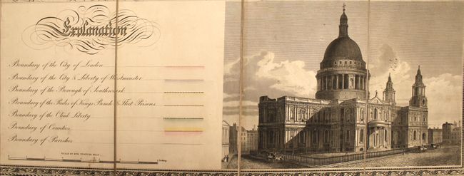
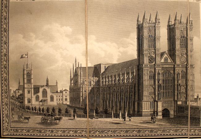
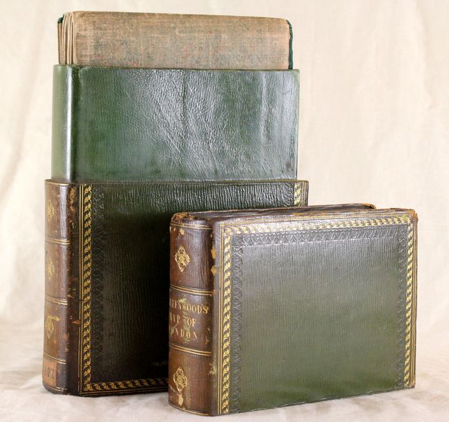
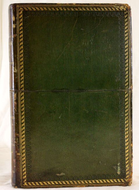
This rare folding map is one of the more detailed and decorative maps of London produced in the first half of the 19th century, drawn by Christopher and John Greenwood after completing surveys of the city over the prior three years. This is the first edition of nine according to Howgego. On a scale of 8 inches to one mile, it covers the area from Kensington Gardens east to the Lea River and from Kentish Town in the north to Battersea in the south. It is filled with information on public buildings, parks, woods, fields, gardens, hills and windmills. All of the important buildings are identified including St. Paul's Cathedral, London Tower, Kensington Palace and the London Docks to name a few. Views of Westminster Abbey and St. Paul's Cathedral are at bottom left and right. Dissected and backed with linen as issued, the map folds into a very handsome, full green morocco book-style slipcase. Published by Greenwood, Pringle & Co., 13 Regent Street, Pall Mall, August 21, 1827.
References: Howgego #309.
Condition: A
Original color. There is a hint of toning along a few folds and a few scattered tiny spots. The map is slightly separated from the linen at a few corners, and the ribbon around the map has a couple of tiny splits. The slipcase is slightly worn and bumped, but overall in very good condition.