Catalog Archive
Auction 139, Lot 260

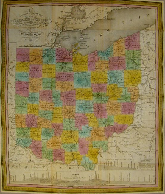
"The Tourist's Pocket Map of the State of Ohio Exhibiting its Internal Improvements, Roads, Distances, &c", Mitchell, Samuel Augustus

Subject: Ohio

Period: 1833 (dated)

Publication:

Color: Hand Color

Size:
12.8 x 15.3 inches
32.5 x 38.9 cm
Download High Resolution Image
(or just click on image to launch the Zoom viewer)

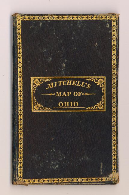
This is a finely engraved, early edition pocket map of Ohio printed on bank note paper. The counties are highlighted in different colors and the map shows many roads, towns, and watershed. The bottom of the map has a profile of the Ohio and Erie Canal. Map folds into original, black leather covers with decorative border and title in gilt measuring 3 x 5". The inside cover lists 73 counties along with their 1830 census population.

References: Ristow pp.303-4.

Condition: B+

Nice bright impression with some minor toning and offsetting and a few clean fold separations that have been repaired with archival tape on verso. Covers have light wear and are sound.

Estimate: $400 - $475

Unsold

Closed on 2/15/2012

Archived