Subject: California
Period: 1904 (dated)
Publication:
Color: Black & White
Size:
19 x 21 inches
48.3 x 53.3 cm
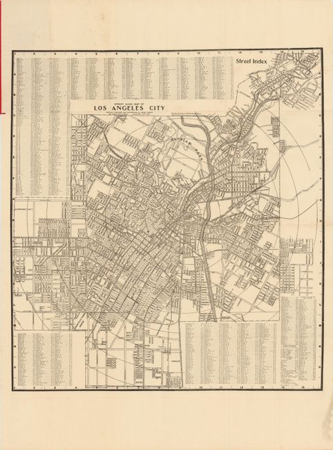
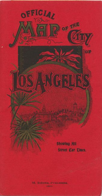
This very early advertising pocket map of Los Angeles shows the streets and city blocks of the city with the street car lines shown by bold lines. Elysian Park, Westlake Park and the Los Angeles River are located. Concentric circles are drawn on the map showing the various distances to City Hall. It includes an extensive street index. The map folds into red paper wrappers, which has an advertisement for the Log Angeles National Bank on verso. Compiled and copyright by Henry Rueger and published by M. Rieder.
References:
Condition: B+
There is some isolated foxing primarily in the blank margin and a bit of soiling near the lower right corner.