Subject: Connecticut
Period: 1890-1910 (circa)
Publication:
Color:
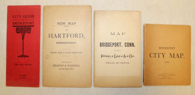
This great lot of maps (one atlas map and four pocket maps) is focused on Connecticut including:
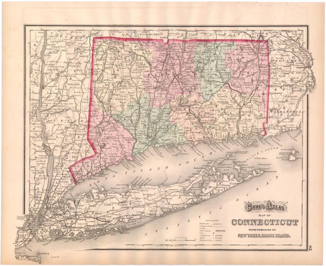
A. Gray's Atlas Map of Connecticut with Portions of New York & Rhode Island, by O.W. Gray, circa 1873, hand color (14.8 x 11.8"). Shows county boundaries as well as roads, railroads and rivers. Condition: Light toning along the edges of the sheet and a hint of offsetting. (A)
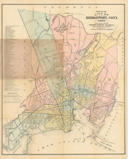
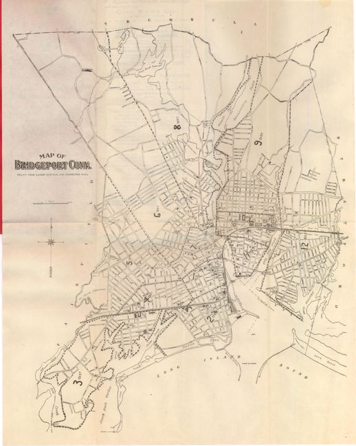
B. Map of the City of Bridgeport, Conn. by Municipal Tax Book Co., dated 1896, printed color (18.5 X 22.8"). The map identifies railroads, streets and concentric circles showing the various distances from city hall. Condition: There are a few short splits at fold intersections and some light toning where the map folds into its brown paper wrappers. (B)
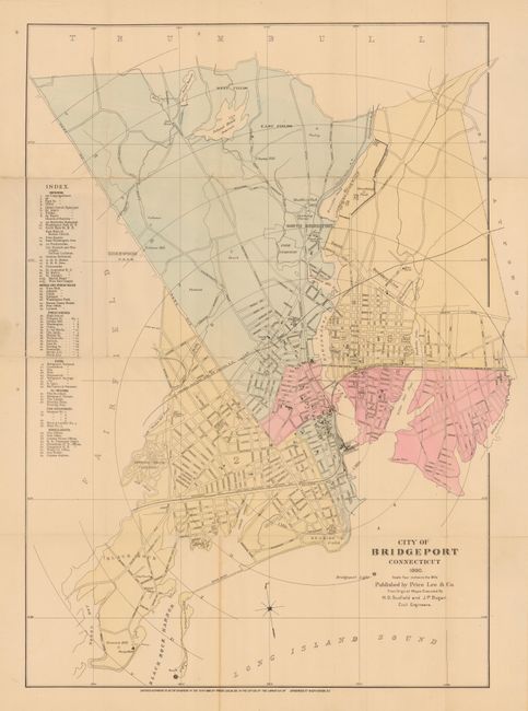
C. City of Bridgeport Connecticut by Price, Lee & Co., dated 1890, printed color (18.3 x 26"). Similar to the above map. Condition: There are two small fold separations where the map folds into brown paper wrappers. (B+)
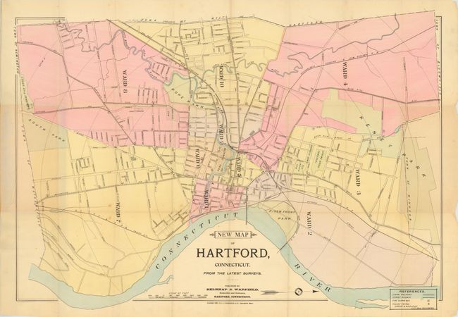
D. New Map of Hartford, Connecticut. From The Latest Surveys by Belknap & Warfield, dated 1896, printed color (30 x 21"). Delineates the wards of the city with concentric circles showing the various distances from city hall. Folds into brown paper wrappers. Condition: There are a few small splits at fold intersections, else very good. (B+)
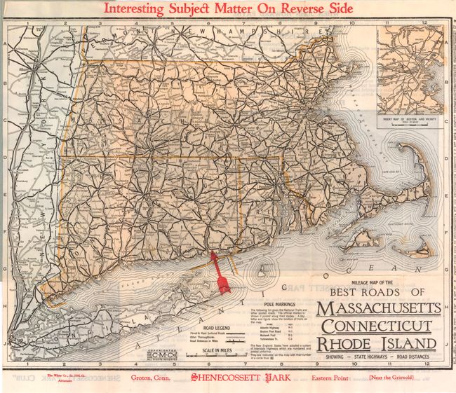
E. Map of Bridgeport Conn, circa 1907, black & white (11 x 14"). Promotional map which includes a guide to the city with numerous advertisements. Folds into red paper wrappers. (A)
References:
Condition:
See descriptions above.