Subject: Reference Books
Period: 1930-65 (published)
Publication:
Color:
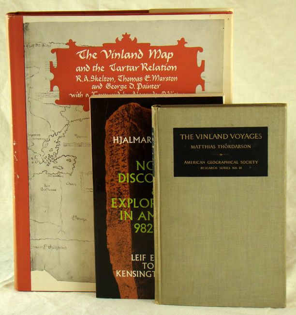
A) The Vinland Map and the Tartar Relation by Skelton, Marston and Painter, published 1965, black & white, (9 x 12"). 289 pages with 30 illustrations and maps. This book analyzes 2 documents that surfaced in the late 1950's. The first is a manuscript account of the expedition of Friar Carpini across Central Asia on a mission to the Mongols in 1245-47. The second is a world map including the Western Ocean with representations of Iceland, Greenland and a land mass named "Vinland" (the North American mainland as known to the medieval Norsemen). Hardbound in red boards and paper covers. Condition - very good condition with some minor wear on the paper covers. (A)
B) The Vinland Voyages by Thordarson, published 1930, black & white, (5 x 8"). This book is an account of the period from Leif Erickson's voyages through the colonization of Greenland and the Norse discovery of the North American mainland. 76 pp. with frontispiece and 23 plates and illustrations from photographs. Hardbound in gray cloth-covered boards. Condition - pages are lightly toned and the spine is slightly darkened. (B+)
C) Norse Discoveries and Explorations in America 982-1362 by Holand, published 1949, black & white, (5.5 x 8.5"). This book provides an in-depth view of the mystery behind the Kensington Stone found in 1898 in Kensington, Minnesota. 354 pp. with 31 plates. Paperback. (A)
References:
Condition:
See descriptions.