Subject: Atlases
Period: 1882 (published)
Publication:
Color: Printed Color
Size:
15 x 20 inches
38.1 x 50.8 cm
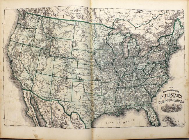
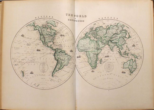
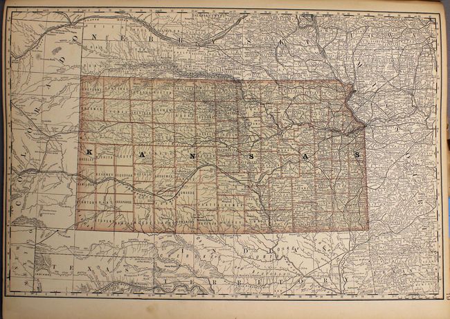
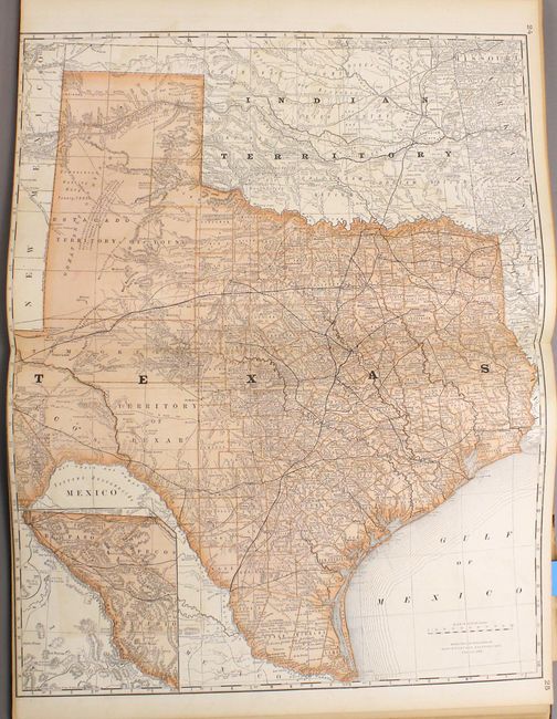
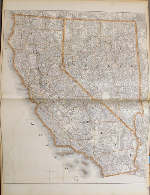
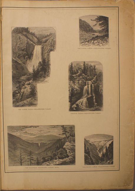
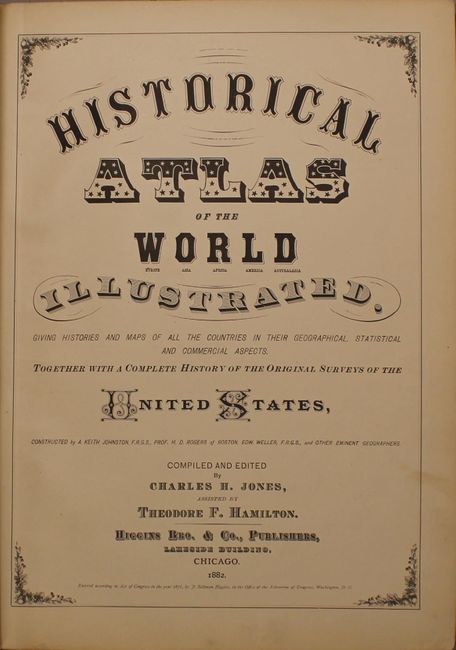
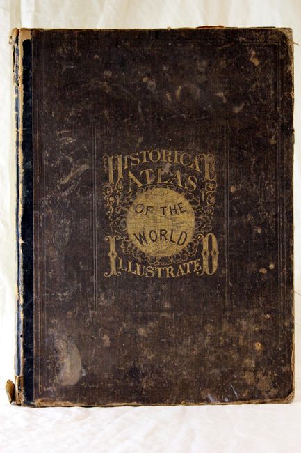
This is a very nice and complete example of this atlas which contains 103 maps on 54 sheets, including 15 double-page maps by Rand McNally. Approximately two-thirds of the atlas is dedicated to North America. This example includes the Railroad Map of the United States and Dominion of Canada and an attractive double-page map of Texas. Included with the maps is 88 pp. of text, an 18 page advertisement for Missouri, and some attractive steel engravings of Yellowstone, Yosemite, Rome and the Holy Land. Hardbound in original quarter calf over brown cloth with gilt title on front. Edited by Jones & Hamilton and published by Higgins Brothers in Chicago.
References:
Condition: A
Condition code is for the maps. The contents and maps are fine with generally clean paper and bright impressions. The covers are bumped and worn particularly along spine. The endpapers and two of the four sheets of the steel engravings are crumpled with a few tears.