Subject: Atlases
Period: 1805 (published)
Publication:
Color: Black & White
Size:
9 x 11 inches
22.9 x 27.9 cm
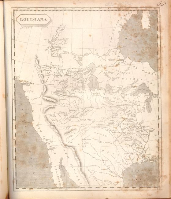
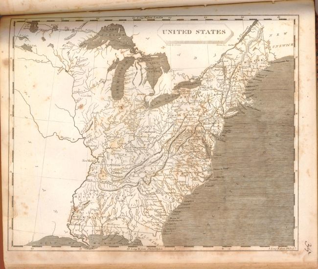
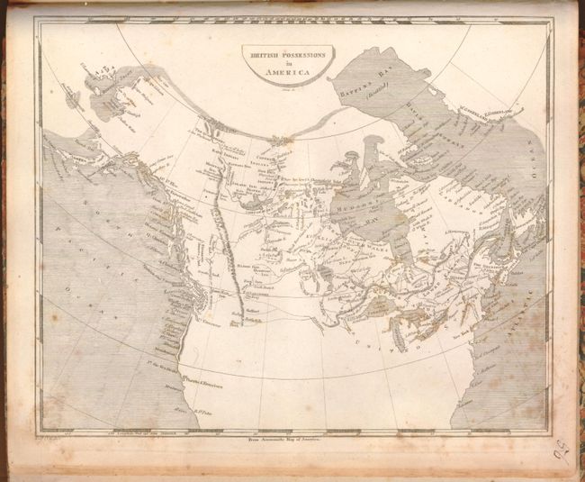
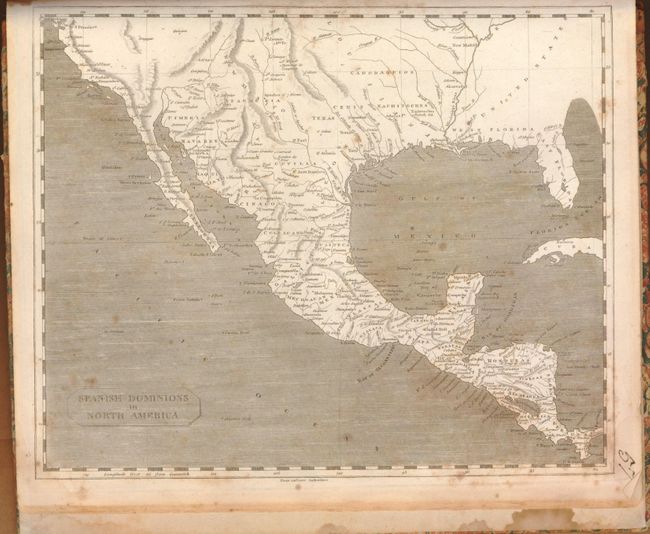
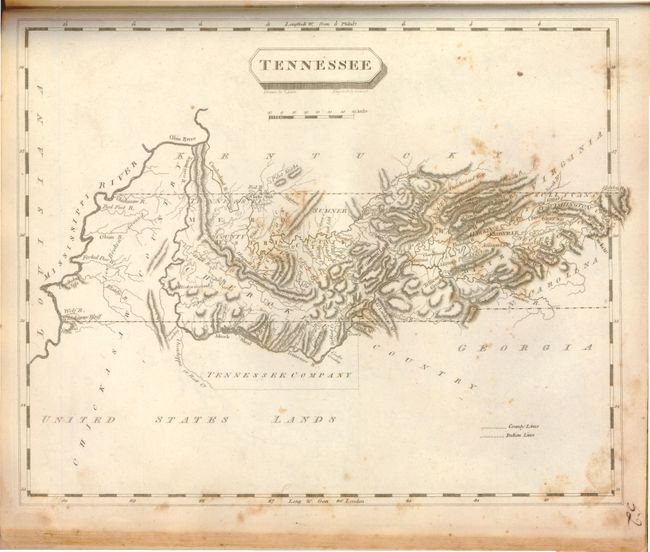
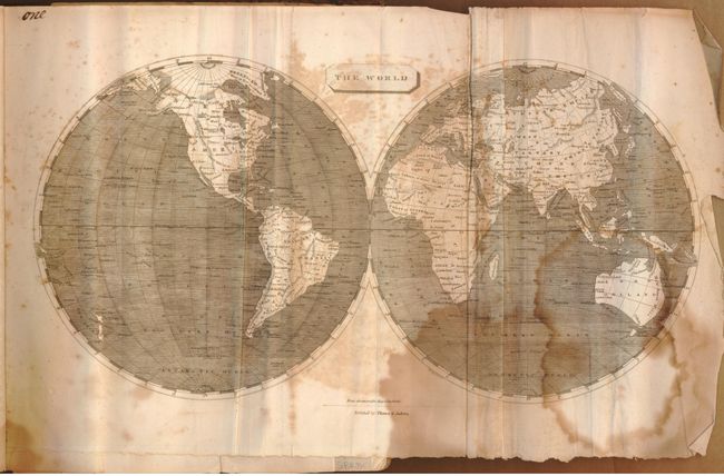
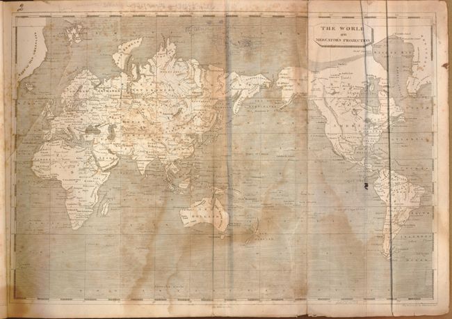
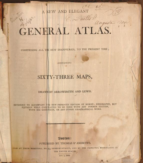
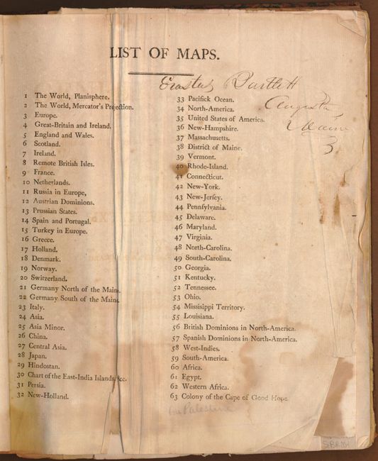
This important little American atlas is complete with 63 uncolored, copper-engraved maps of the world, continents and countries, and U.S. states and regions. Of particular interest is Louisiana, which is highlighted by the "Mtns de la Roche or Stoney Mtns." Paul Cohen describes this map in Mapping the West, that, although as equally inaccurate as the Soulard version, "[the Samuel Lewis map] ... was the primary map of the newly purchased territory of Louisiana and its surroundings and, as such, reflected and shaped American popular geographical images of the western interior at the time of Lewis and Clark." Other American maps of note are early Tennessee, Ohio, Mississippi Territory, British Possession in America, and Spanish Dominion in North America. The map of Australia shows an incomplete southern coastline, and a completely insular Tasmania. 4to, hardbound in original paper over boards and quarter leather spine.
References: Cohen, p. 80; Phillips (A) #718; Wheat (TMW) 259, 260, 261 & 262.
Condition: C
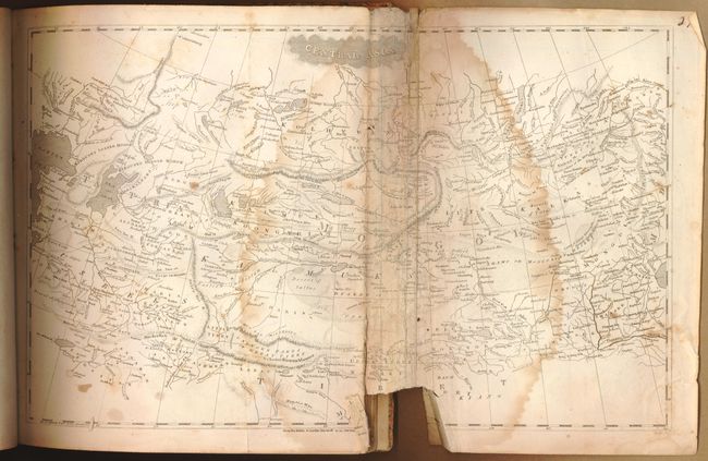
There is significant foxing and damp staining in the first half of the atlas. The second half, primarily maps of the United States, show scattered foxing and occasional staining. The world map, list of maps, title page and front endpapers are tattered and creased. The map of Central Asia is missing a two-inch portion of the image at lower centerfold. There are some occasional pencil notations, mostly on the verso of the maps. The covers are worn and starting.