Catalog Archive
Auction 138, Lot 854

"Das Innere von Neu-Sud-Wales nach John Oxley 1822", Perthes, Justus

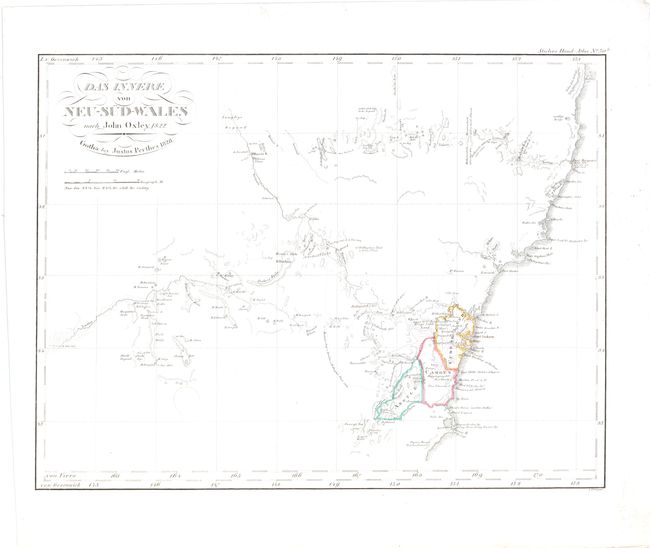
Subject: New South Wales, Australia

Period: 1828 (dated)

Publication: Stieler's Hand Atlas

Color: Hand Color

Size:
14.5 x 11.3 inches
36.8 x 28.7 cm
Download High Resolution Image
(or just click on image to launch the Zoom viewer)

This map of eastern Australia depicts the three counties of Argyle, Camden and Cumberland within New South Wales. The map extends north to the Hastings River and the Liverpool Plains, and west to the Macquarie and Lachlan Rivers. The map is based on John Oxley's A Chart of Part of the Interior of New South Wales from 1822.

References: cf. Tooley (Australia) p. 242, #39.

Condition: A

A few tiny spots, primarily confined to right blank margin, and a few minute worm holes, only visible when held to bright light.

Estimate: $200 - $275

Sold for: $100

Closed on 12/7/2011

Archived