Catalog Archive
Auction 138, Lot 828

"Physiographical Map Of Tanganyika Territory",

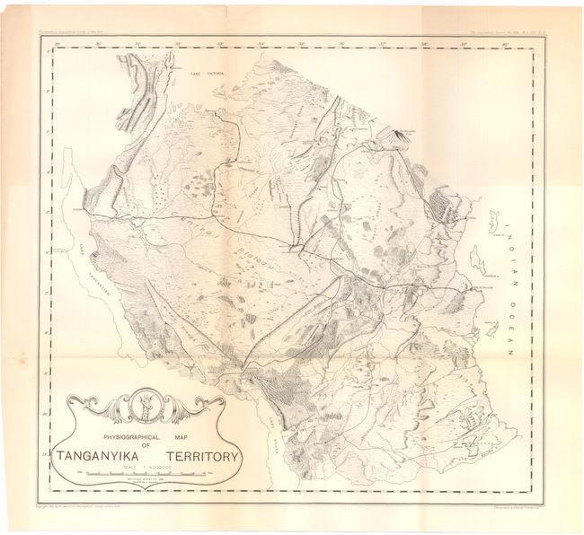
Subject: Tanzania, Eastern Africa

Period: 1933 (dated)

Publication:

Color: Black & White

Size:
13.5 x 12.5 inches
34.3 x 31.8 cm
Download High Resolution Image
(or just click on image to launch the Zoom viewer)

Tanganyika Territory was a British Colony between 1919 and 1961 and is now part of Tanzania. The map shows the region from Lake Tanganyika east to Mt. Kilimanjaro, covering nearly 360,000 miles with good detail of mountains, rivers and roads. At center is the Central Plateau. The map was drawn by E. Harvey of the Geological Survey of Tanganyika Territory in 1932 and published by the American Geographical Society of New York.

References:

Condition: A

There is a hint of toning along the folds and one tiny fold separation, else fine.

Estimate: $75 - $100

Sold for: $85

Closed on 12/7/2011

Archived