Catalog Archive
Auction 138, Lot 603

"Landgraviatus Hassiae Inferioris Nova Tabula, in qua Praecique Ditiones Hasso-Casselenses et Comitatus Waldeck…", Homann Heirs
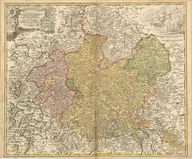
Subject: Germany

Period: 1715 (circa)

Publication:

Color: Hand Color

Size:
23 x 19.3 inches
58.4 x 49 cm
Download High Resolution Image
(or just click on image to launch the Zoom viewer)

This is a very detailed map of Lower Hessen with its individual duchies and territories showing place names, rivers, woods and mountains. Cassell (Kassel) is at the center of the map. The upper corners are adorned with a title cartouche and a hunting scene.

References:

Condition: B+

Original color with a light impression in the scene at right and faint damp stains in the bottom corners. Split in lower centerfold with paper repair on verso.

Estimate: $140 - $180

Unsold

Closed on 12/7/2011

Archived