Catalog Archive
Auction 138, Lot 519
"Tabula Nova Complectens Praefecturas Normanniae, et Britanniae, una cum Angliae, Parte et Manica", Visscher, Nicolas
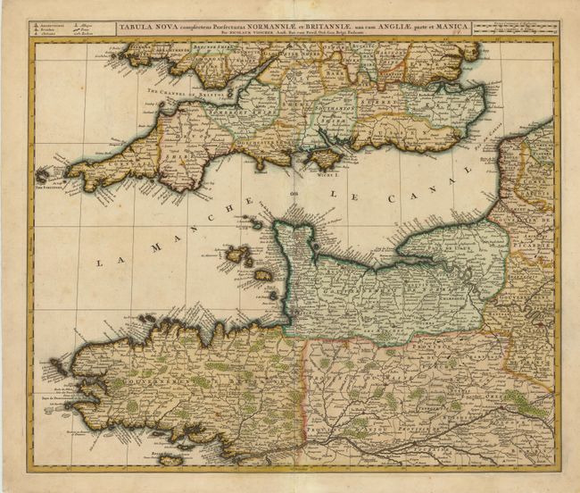
Subject: English Channel, England, and France
Period: 1690 (circa)
Publication:
Color: Hand Color
Size:
22 x 18.8 inches
55.9 x 47.8 cm
Download High Resolution Image
(or just click on image to launch the Zoom viewer)
(or just click on image to launch the Zoom viewer)