Catalog Archive
Auction 138, Lot 512

"A New Map of the Kingdom of Ireland, Divided into its Provinces & Counties…", Kitchin, Thomas
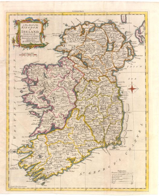
Subject: Ireland

Period: 1764 (published)

Publication: London Magazine

Color: Hand Color

Size:
11.3 x 14.3 inches
28.7 x 36.3 cm
Download High Resolution Image
(or just click on image to launch the Zoom viewer)

This detailed map of Ireland is divided into the four provinces of Ulster, Connaught, Leinster, and Munster. A legend at bottom right identifies the divisions of provinces and counties, as well as archbishoprics, bishoprics, borough towns, roads, and bogs. The map is adorned with a compass rose and a decorative title cartouche.

References: Jolly #LOND-236.

Condition: B+

Issued folding, now pressed. Old color on watermarked paper with a minute hole in blank area of map image at bottom right. A binding trim at bottom left has been remargined with old paper.

Estimate: $300 - $375

Sold for: $220

Closed on 12/7/2011

Archived