Subject: Europe
Period: 1950 (circa)
Publication:
Color: Printed Color
Size:
78.5 x 64 inches
199.4 x 162.6 cm
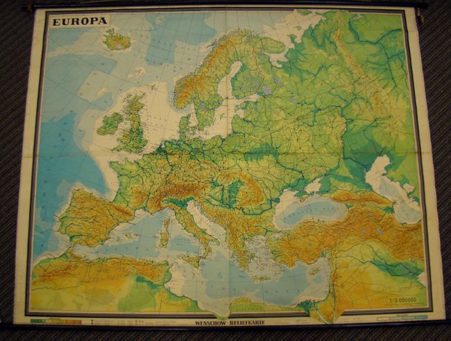
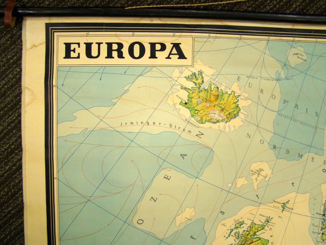
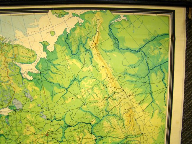
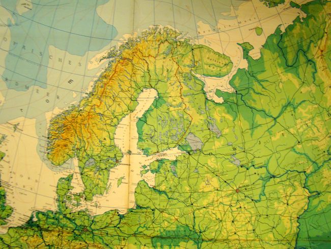
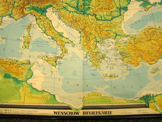
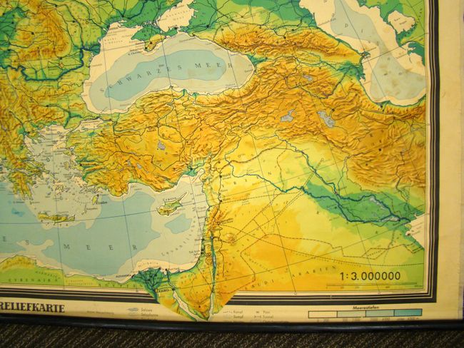
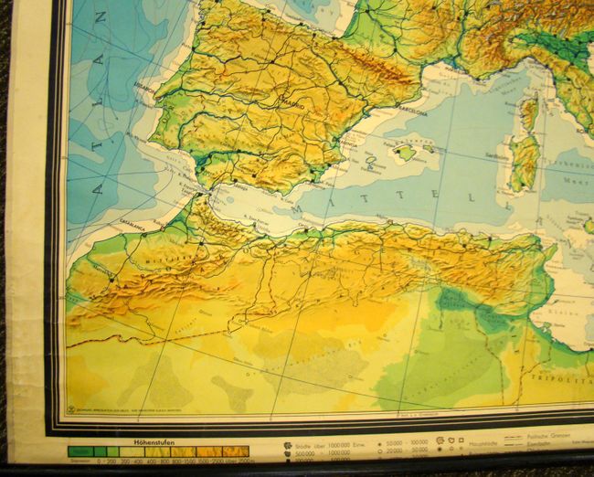
This is a very large German wall map of Europe composed of four sheets. The map covers the area from Iceland south to Algeria, and west to the Ural mountains. Despite the date of the map, the political boundaries of Germany are not separated into East and West divisions. Yugoslavia is shown with all the ethnic regions noted as are the regions of the Soviet Union. Cities are reflected in icons of varying sizes, and both elevation and water depth is represented in different color shades. There is additional detail of railroads, oil pipelines, sea currents, lakes, rivers salt deposits and deserts. The map was the property of the Operational Division/ HQ-USAA-REUR and is stamped such.
References:
Condition: B+
There is centerfold toning and some occasional damp staining in the image, primarily in the upper left portion of the image near the title. There is also some minor soiling at right. The rollers are intact with leather straps and center ribbon. There is a small crack running the length of the roller. Backed with linen.