Catalog Archive
Auction 138, Lot 401

"Windward Islands", Carey & Lea

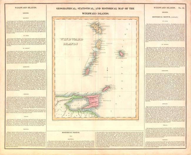
Subject: Windward Islands, Lesser Antilles

Period: 1822 (circa)

Publication:

Color: Hand Color

Size:
10 x 12 inches
25.4 x 30.5 cm
Download High Resolution Image
(or just click on image to launch the Zoom viewer)

This map of the Windward Islands stretches from Martinique to Trinidad, and depicts the mountainous terrain and the coastal towns of the islands. The map is surrounded by panels of English text with statistical and historical information on each of the islands. The full sheet is titled Geographical, Statistical, and Historical Map of the Windward Islands, and measures 20.7 x 16.8". Drawn by F. Lucais Jr. and engraved by Boyd.

References:

Condition: B+

Light offsetting with a few short tears in margins that have been closed on verso with archival materials.

Estimate: $200 - $275

Sold for: $150

Closed on 12/7/2011

Archived