Catalog Archive
Auction 138, Lot 311
"Geological Map of Keweenaw Point, Lake Superior", Jackson, Charles T.
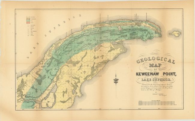
Subject: Lake Superior, Michigan
Period: 1847 (dated)
Publication:
Color: Hand Color
Size:
22.3 x 13.5 inches
56.6 x 34.3 cm
Download High Resolution Image
(or just click on image to launch the Zoom viewer)
(or just click on image to launch the Zoom viewer)