Catalog Archive
Auction 138, Lot 309
"Geological Map of the District between Keweenaw Bay and Chocolate River, Lake Superior, Michigan", Foster/Whitney
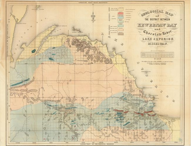
Subject: Lake Superior, Michigan
Period: 1849 (circa)
Publication:
Color: Hand Color
Size:
24 x 19.5 inches
61 x 49.5 cm
Download High Resolution Image
(or just click on image to launch the Zoom viewer)
(or just click on image to launch the Zoom viewer)