Catalog Archive
Auction 138, Lot 225
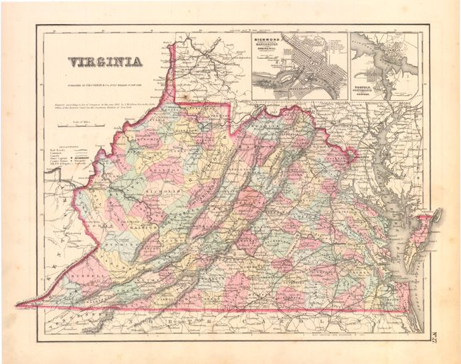
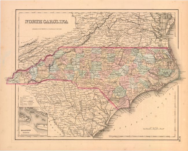
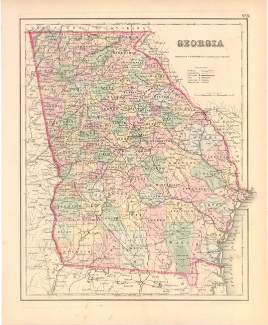
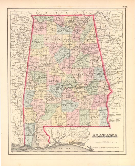
"[Lot of 7] Virginia [and] North Carolina [and] Georgia [and] Alabama [and] Mississippi [and] Louisiana [and] Arkansas", Colton, Joseph Hutchins
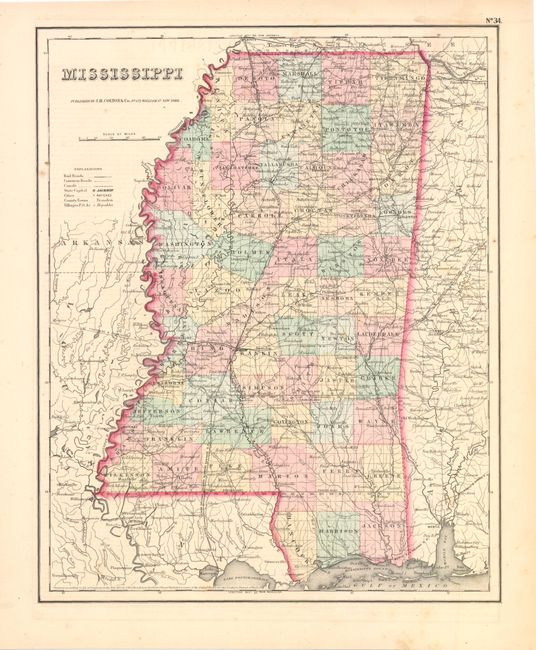
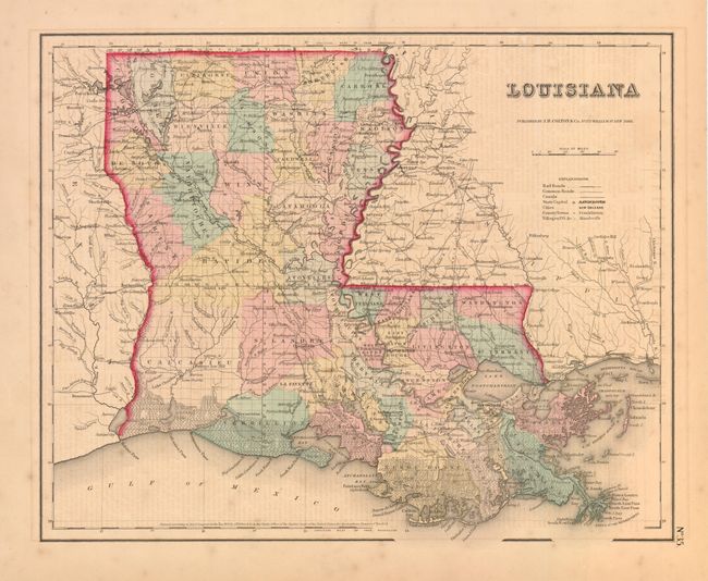
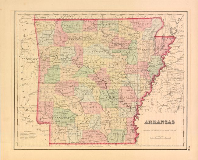
Subject: Southern United States
Period: 1855 (dated)
Publication: General Atlas
Color: Hand Color
Size:
14.5 x 11.8 inches
36.8 x 30 cm
Download High Resolution Image
(or just click on image to launch the Zoom viewer)
(or just click on image to launch the Zoom viewer)