Catalog Archive
Auction 138, Lot 183

"Nordlicher Theil der Vereinigten Staaten", Reichard, Christian Gottlieb Theoph

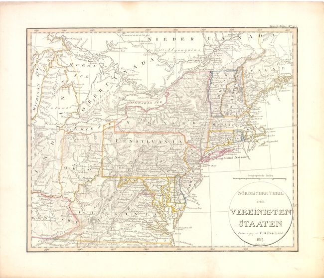
Subject: Eastern United States

Period: 1817 (dated)

Publication:

Color: Hand Color

Size:
13.5 x 11 inches
34.3 x 27.9 cm
Download High Resolution Image
(or just click on image to launch the Zoom viewer)

This interesting German map covers the eastern states from eastern Kentucky and Indiana to the Atlantic. In the northwest part of the map, Ohio is shown with its western border on the Scioto River and Indiana extends to take up the entire Michigan peninsula. The northeastern boundary of Maine is undefined.

References:

Condition: A

Original outline color with marginal soiling and a short tear in upper blank margin closed on verso with Japanese tissue.

Estimate: $160 - $200

Sold for: $90

Closed on 12/7/2011

Archived