Subject: Reference Books
Period: 1976-91 (published)
Publication:
Color: Black & White
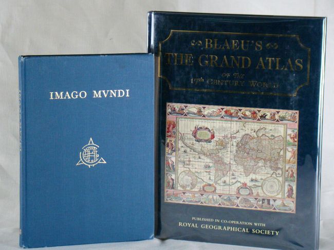
A. Blaeu's The Grand Atlas of the 17th Century World, published in cooperation with the Royal Geographical Society, 1991, (11"x15") . The book, with 100 beautifully reproduced colored maps, is a continuation of the effort by the RGS to reproduce important cartographic items for wide public access. Each map is accompanied by an extensive caption written by Goss. A treasure trove of information and illustrations. 224 pp. Hardbound in blue cloth with gilt spine and illustrated dust jacket. Condition - Near new condition with minor wear to dust jacket. (A)
B. Imago Mundi: The Journal of the International Society for the History of Cartography Vol. 28, 1976, (8.5 x 12"). Among the 10 major articles in this volume are Blaeu’s 1606 map of Europe by Guenter Schilder and charting the Gulf Stream by Louis de Vorsey. 149 pp. with many illustrations. Hardbound in blue cloth covers with gilt text on front cover and spine. Condition - contents are tight and clean while the covers show some light wear and bumped edges. (B+)
References:
Condition:
See descriptions.