Subject: Reference Books
Period: 1973-79 (published)
Publication: Helsinki University Library
Color:
Size:
8.7 x 12 inches
22.1 x 30.5 cm
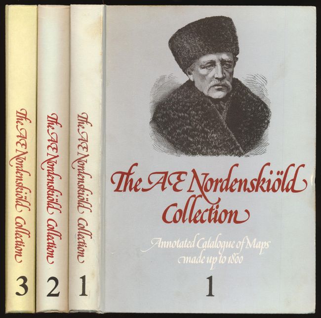
A. The A.E. Nordenskiold Collection in the Helsinki University Library - Annotated Catalogue of Maps made up to 1800 [3 volumes], Helsinki University Library, published 1979, printed color (8.7" x 12"). This very scarce reference work, compiled by Ann-Mari Mickwitz and Leena Miekkavaara, consists of three volumes of catalogued maps and an index volume. Although this set does not include the index volume, the catalogue is still user-friendly as the atlases are arranged alphabetically by author. The Nordenskiold Collection is one of the most extensive cartographic collections in the world. 730 atlases and books are described, with some illustrations both b/w and colored; thus this catalog is an excellent carto-bibliography. 250/322/253 pp. Hardbound in illustrated paper-covered boards. Condition: Contents very good, soiled on foredge from thumbing and sunning to spines. (B+)
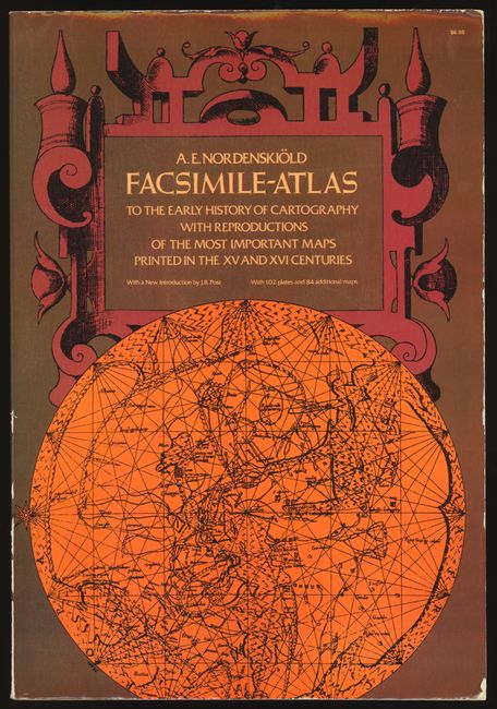
B. Facsimile-Atlas to The Early History of Cartography with Reproductions of the Most Important Maps Printed in the XV and XVI Centuries, Nils Adolf E. Nordenskiold, Dover Publications, New York, published 1973, black & white (11" x 16"). This folio book is a reprint of Nordenskiold's highly important and useful work, which was the first systematic approach to the study of cartographic history. Translated by Johan Adolf Ekelof and Clements R. Markham with a new introduction written by J. B. Post and a glossary of cities. Reproduces 169 of the most important maps printed before 1600, including the complete 1400 edition of Ptolemy. This is a wonderful reference atlas of significant maps. 141 pp., plus 102 plates. Condition: Tight, clean contents with a little wear to covers. (B+)
References:
Condition:
See description.