Subject: Geography Books
Period: 1861-67 (circa)
Publication:
Color: Hand Color
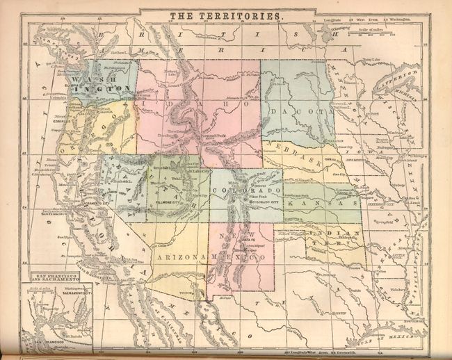
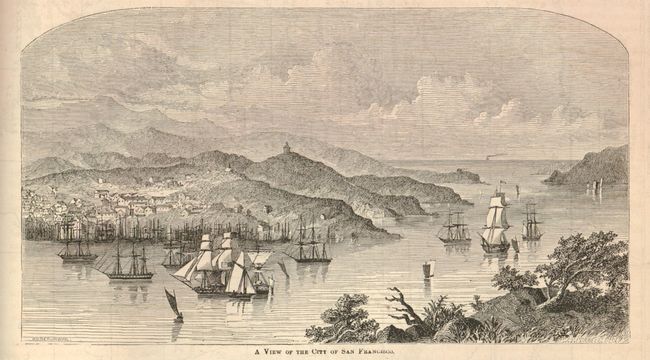
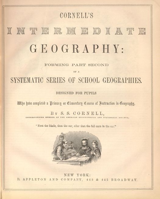
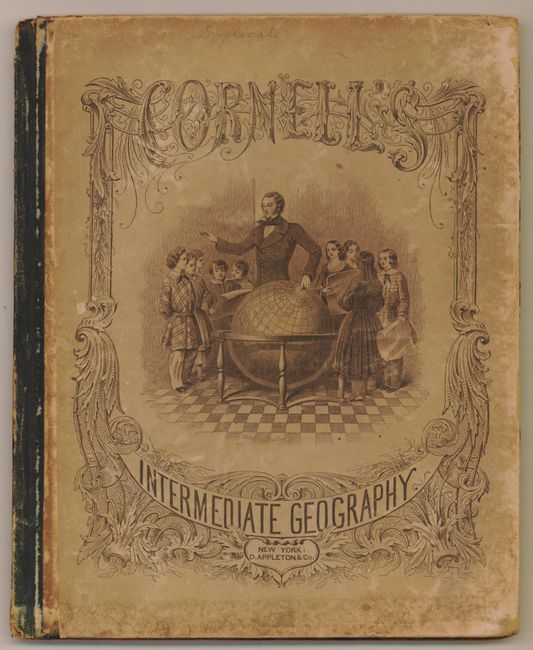
A. Cornell's Intermediate Geography: Forming Part Second of a Systematic Series of School Geographies, by S.S. Cornell, 1864, (9.5 x 11.3"). Includes over 20 hand-colored maps including 2 double-page maps. This complete book is 94 pp and covers both historical and physical geography, along with various pupil lessons. There is nice detail of the states and territories, including a large Idaho and "Dacota" territories. In the endpapers there is a supplemental sheet showing statistics from the 1860 census. Hardbound with pictorial paper over boards. Condition: Maps are in very good condition with occasional light foxing. Spine is slightly cracked and starting. There is a library seal on the front pastedown. (B+)
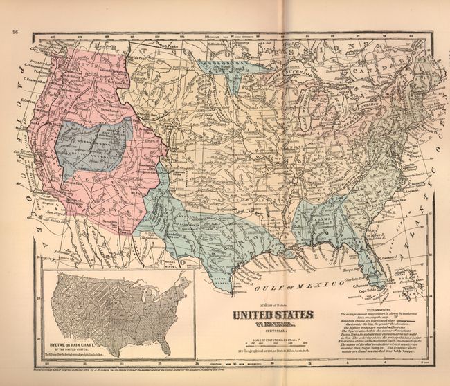
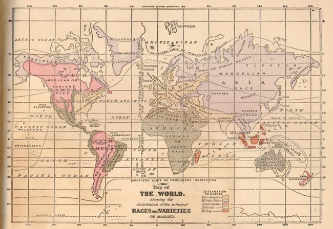
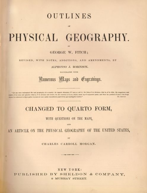
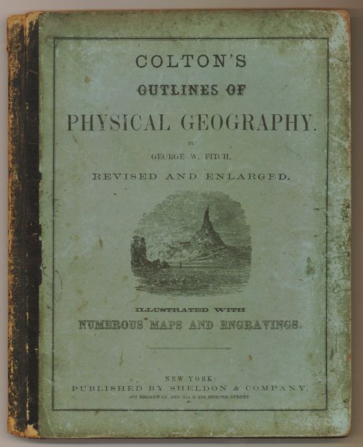
B. Outlines of Physical Geography, by George W. Fitch, 1867, (9.6 x 12"). Includes 18 maps hand-colored maps, 6 of which are double-paged including both the United States and North America. The complete book contains 112 pp and covers a wide variety of topics including land, water, the atmosphere as well as plant and animal life. Hardbound with pictorial paper over boards. Condition: Maps are in very good condition with some light toning primarily in the blank margins. Boards are stained and slightly bumped. There are some notations and signatures in the endpapers. (B+)
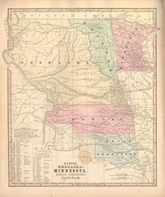
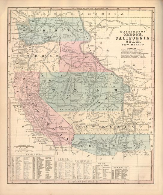
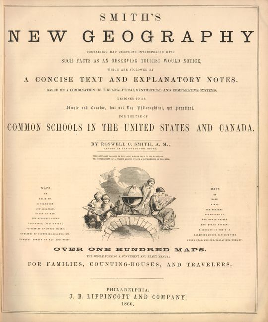
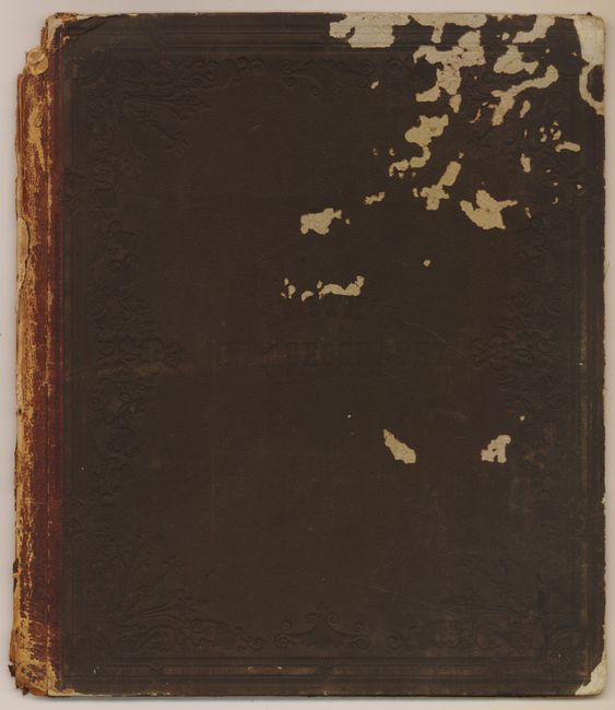
C. Smith's New Geography, by Roswell C. Smith, 1861, (11.8 x 13.8"). This complete geography contains "over 100 maps" most of which are single-page, hand-colored, and many have insets. In this 92 pp book, there are numerous thematic maps, small city plans and engraved vignettes. In the United States, Arizona Territory is shown with confederate borders, and there are several other interesting early territorial boundaries shown in the West. The maps of the continents are further decorated with images of ships, local inhabitants and wildlife. A key in the blank areas explains the types of animals depicted. An interesting page of quotes from authors and educators follows the Table of Contents, and the title page features an engraved vignette of Geography students working on their lessons. Hardbound with embossed pebbled-cloth covered boards. Condition: Maps are in very good condition with some very light toning. Maps are disbound with boards bumped with insect damage and tattered spine. (B)
References:
Condition:
See description.


