Subject: Atlases
Period: 1846 (dated)
Publication:
Color: Hand Color
Size:
12 x 15.5 inches
30.5 x 39.4 cm
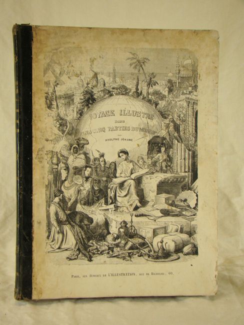
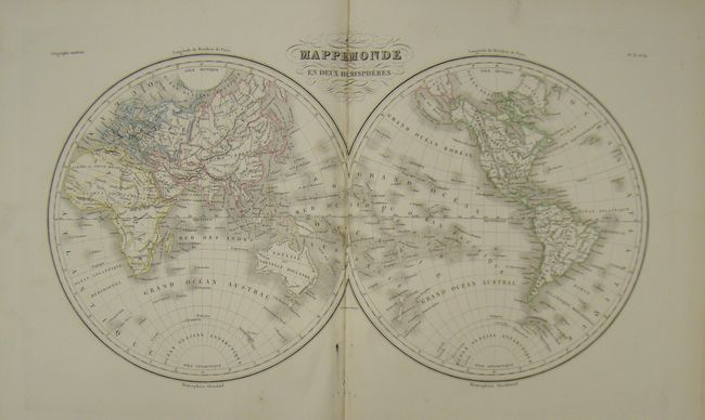
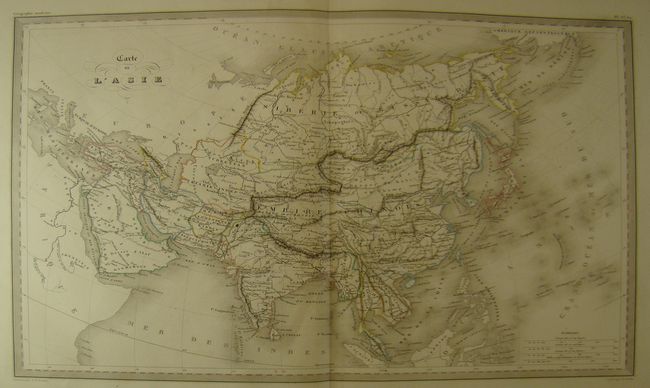
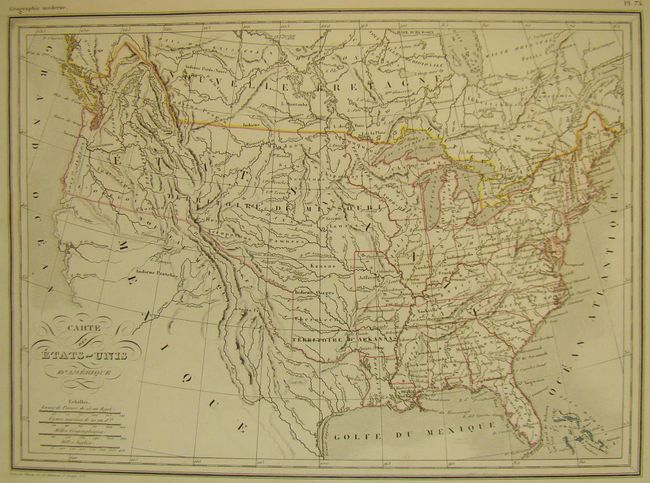
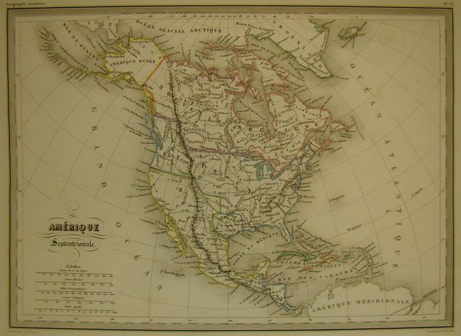
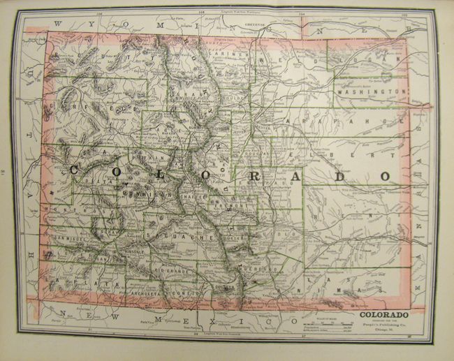
This complete folio atlas, originally published by Malte-Brun between 1810 and 1829, was revised by Huot to contain the newest discoveries. The map of the U.S. shows a large Territory of Missouri that extends throughout the Midwest and upper northwest, and Mexico extending to the border of present-day Oregon. The front cover is illustrated with an elaborate engraving titled, "Voyage Illustre Dans Les Cinq Parties Dumonde par Adolphe Joanne" and features allegorical representations of the people and sites from the five continents. The back cover lists the 72 maps contained within the atlas, 14 of which are double-page maps. Folio, half calf with paperboard covers, marbled endpapers, 85 pp.
References:
Condition: A
The maps are in very good to fine condition with original color and some occasional minor soiling in blank margins, with the exception of the map of France (pl. 37) which has a 3" tear that enters map image. The map of Europe is disbound. The covers are worn with bumped corners and some staining. The binding is beginning to loosen at lower front.