Subject: Atlases
Period: 1842 (circa)
Publication:
Color: Hand Color
Size:
13 x 10 inches
33 x 25.4 cm
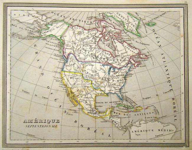
The United States and Great Britain established in 1818 joint claim over the Oregon Territory - the region north of Spanish controlled Upper California up to the southern boundary of Russia's Alaska Territory at North latitude 54°40'. By the late 1830's this arrangement was beginning to fall apart.
In the 1840's the expansionist Democrats, including their 1844 presidential candidate, James Polk, claimed the entire region for the United States. Their expansionist desires were expressed by Polk's famous campaign slogan, "Fifty-four Forty or Fight!" The slogan also became a rally cry for Americans desiring to settle the territory. Following Polk's election, the dispute was resolved by the 1846 Treaty of Oregon, which struck a compromise that fixed the U.S./Canadian boundary at 49º North.
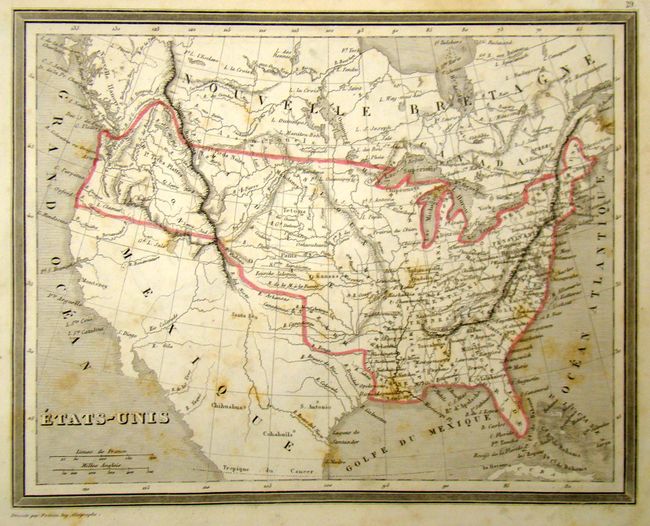
This atlas includes 67 selected maps by A.R. Fremin and Lorrain:
A. 12 maps of the ancient world and middle ages, by Fremin
B. 19 maps of Europe and Turkey, by Fremin
C. 18 maps of the Indies, Asia, Africa and the Americas, by Fremin
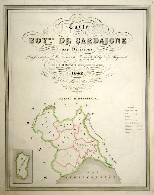
D. 10 maps of the Kingdom of Sardinia, by Lorrain, and published by B. Dussillon, dated 1842
E. 9 maps (of the original 12) of the provinces of Holland, originally by Lorrain, corrected by B. Reding, and published by B. Dussillon
F. 1 map of Luxembourg, black & white.
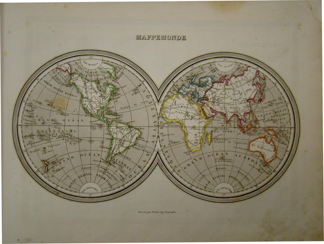
The Mappemonde, by Fremin, is a double-hemisphere map that shows undefined arctic poles. Another map by Fremin, Amerique Septentrionale shows the Oregon Boundary Dispute, and also illustrates Mexico extending far into the U.S., with most of the U.S. designated as Indian Territory. Rebound with half leather and beige paper boards. Original leather spine with gilt lettering has been re-attached. 67 pp.
References:
Condition: B+
Original hand color with light, scattered stains. Several maps have short tears confined to the blank margins closed on verso with cello tape. Maps of France, Columbia, Province de Frise, Province de Groningue have tears that enter map image. Holland has a sticker in blank area of map image. Overall, most maps are in very good to near fine condition.