Subject: Britain
Period: 1788-1806 (circa)
Publication:
Color:
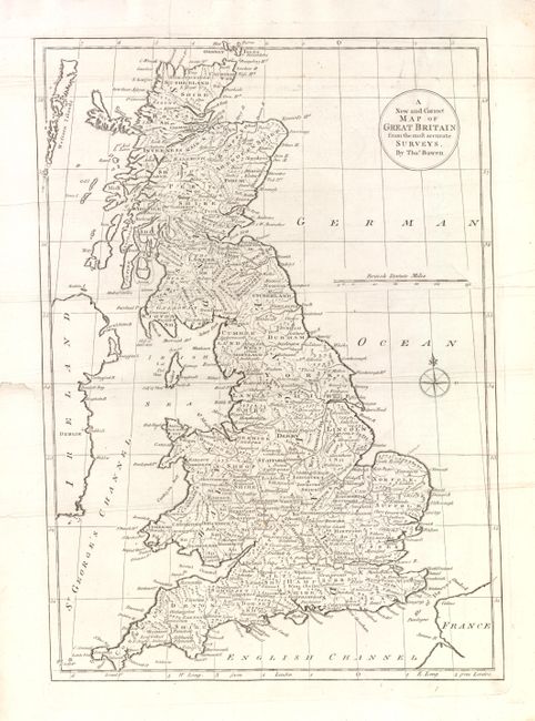
A. A New and Correct Map of Great Britain from the Most Accurate Surveys by Thomas Bowen, ca. 1788, black & white, (12 X 17"). Map of England, Scotland and Wales with individual counties named and outlined. Shows an untitled "Hadrian's Wall" plus "Severus Wall." Condition - the map is backed with Japanese tissue to repair a few tears in the blank margin, one of which just extends into the neatline There is also one small spot in lower center portion of image. (B+)
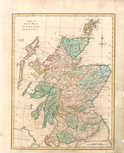
B. A New and Accurate Map of Scotland from the Latest Surveys by Robert Wilkinson, 1806, Hand Color (8.5 x 11.3"). Nice small map of Scotland, the Orkney Islands and Western Islands. Each county is highlighted in a different color. Condition - the margins are slightly soiled and stained and there are a few small spots in image. Small tear in upper blank margin repaired on verso with archival material. (B)
References:
Condition:
See description.