Catalog Archive
Auction 137, Lot 455

"Pas kaart Vande Kust van Guiana Tusschen R: Cupanama en R: Oronoque", Keulen, Johannes van
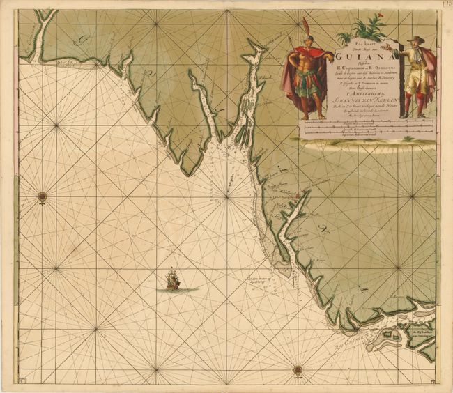
Subject: Guyana

Period: 1700 (circa)

Publication:

Color: Hand Color

Size:
23.2 x 20.2 inches
58.9 x 51.3 cm
Download High Resolution Image
(or just click on image to launch the Zoom viewer)

This scarce sea chart is centered on current-day Georgetown at the mouth of the Essequibo River, here called "Rio Esequeba." The map covers the coastline from the Orinoco River to the Corantijn River with north oriented at the bottom of the chart. Details of soundings, currents, shoals and anchorages and the Dutch settlements of New Zealand and New Middleburgh are included. It is embellished with rhumb lines, compass roses, a sailing ship and a large title cartouche flanked by a native and a Dutch trader.

References:

Condition: B+

Old color with minor offsetting and some oxidation along the Essequibo River, only visible when held up to light.

Estimate: $475 - $600

Sold for: $350

Closed on 9/14/2011

Archived