Catalog Archive
Auction 137, Lot 437

"Island of Cuba Cape San Antonio to Longitude 76 West…Eastern Part of Bahama Islands with Part of Cuba and North Coast…", U.S. Navy Dept.

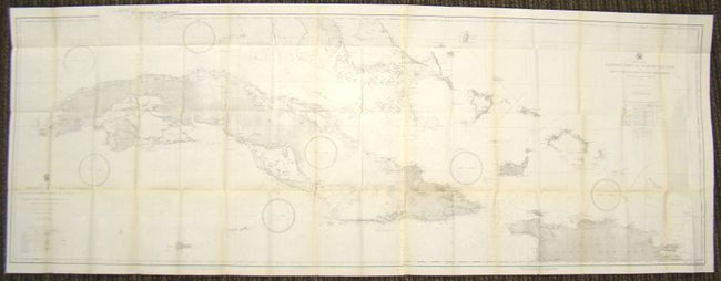
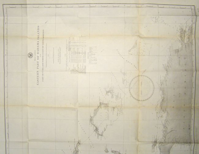
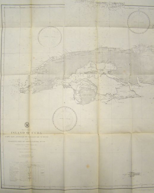
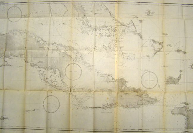
Subject: Cuba & Bahamas

Period: 1885 (dated)

Publication:

Color: Black & White

Size:
76 x 27 inches
193 x 68.6 cm
Download High Resolution Image
(or just click on image to launch the Zoom viewer)

Two sheets join to form a very impressive naval chart of Cuba, the Bahamas and a portion of Haiti. The map shows very good detail of coastlines, soundings and shoals. There is some interesting navigational commentary as well, pointing out some of the inaccuracies of the coastline. On land, towns, watershed and relief is noted. Each sheet has a table that lists the location of the lighthouses in the area.

References:

Condition: B+

There is some very light toning, mainly along the folds and a few small stains, else very good.

Estimate: $275 - $350

Unsold

Closed on 9/14/2011

Archived