Catalog Archive
Auction 137, Lot 427

"An Accurate Map of the West Indies, from the Latest Improvements", Wilkinson, Robert

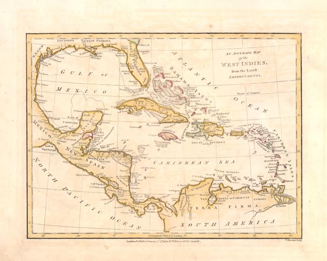
Subject: Gulf of Mexico and Caribbean

Period: 1806 (published)

Publication: A General Atlas being a Collection of Maps of the World…

Color: Hand Color

Size:
10 x 7 inches
25.4 x 17.8 cm
Download High Resolution Image
(or just click on image to launch the Zoom viewer)

This chart covers Florida and extends to show all of the Windward Islands, plus portions of Central and South America. It shows Spanish claims in yellow, English in red and French in green. Engraved by W. Harrison.

References:

Condition: B+

There is a small chip in the lower left corner of the blank margins along with some light soiling. The image is good and has just s hint of toning. There are also a few faint pencil marks in the image that do not distract.

Estimate: $130 - $170

Sold for: $90

Closed on 9/14/2011

Archived