Subject: Texas
Period: 1912 (dated)
Publication:
Color: Printed Color
Size:
26 x 36.5 inches
66 x 92.7 cm
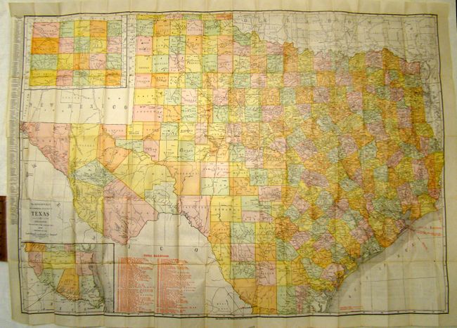
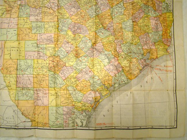
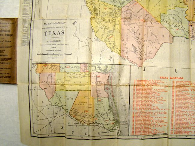
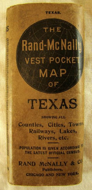
The vest pocket map series features colorful and detailed maps that fold into small paper covers. This map of Texas is rather large for the series, being over one inch thick when folded. The map has an inset of the panhandle region and another detailing the southern tip, showing the area between Brownsville to Nuevo Laredo. Shows all counties, towns and villages, forts, and more. The map lists 80 railroads, and identifies them on the map with red overprinted numbers next to the printed lines. The county boundaries are current as of 1912 with the additions of Brooks, Culberson, Jim Wells and Wilacy organized in that year. The verso is an extensive index to the state.
References:
Condition: B+
The map is in very good condition except for a tiny hole in the lower left inset and a few tiny stains.