Catalog Archive
Auction 137, Lot 276

"Relief Map State of Arizona", U.S. Geographical Survey
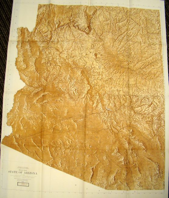
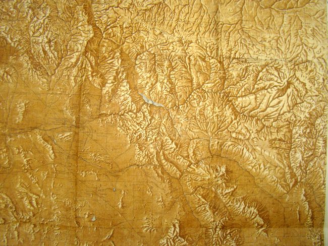
Subject: Arizona

Period: 1925 (dated)

Publication:

Color: Printed Color

Size:
42 x 51 inches
106.7 x 129.5 cm
Download High Resolution Image
(or just click on image to launch the Zoom viewer)

This is a very impressive and unusual relief map of Arizona. Beyond the topography, there is detail of towns, roads, railroads, watershed and Indian reservations. The map is based upon Nelson Horatio Darton's great map for the Arizona Bureau of Mines. Relief shading by Jno. H. Renshawe.

References:

Condition: A+

Excellent condition with bright color.

Estimate: $100 - $130

Sold for: $75

Closed on 9/14/2011

Archived