Catalog Archive
Auction 137, Lot 203

"Map of Massachusetts. Rhode Island. Connecticut", Mast, Crowell & Kirkpatrick

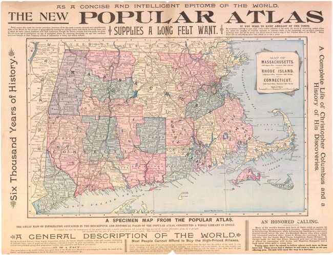
Subject: United States - New England

Period: 1890 (circa)

Publication:

Color: Printed Color

Size:
20 x 13 inches
50.8 x 33 cm
Download High Resolution Image
(or just click on image to launch the Zoom viewer)

This map covers Massachusetts, Rhode Island and Connecticut and is labeled A Specimen Map from the Popular Atlas. The map is surrounded by advertising for the forthcoming publication of the atlas containing 60 maps. The verso also contains advertising and references to the publisher. The image of the three states shows counties, towns, roads and railroads. A very unique late nineteenth century advertising piece.

References:

Condition: B+

Nice clean image. There are a few fold separations and small chips confined primarily to the blank margins.

Estimate: $130 - $160

Sold for: $100

Closed on 9/14/2011

Archived