Catalog Archive
Auction 137, Lot 202

"Rail-Road & Township Map of Massachusetts, Connecticut and Rhode Island", Thayer & Co.

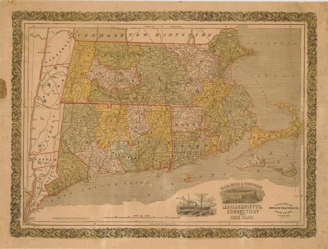
Subject: New England - United States

Period: 1853 (dated)

Publication:

Color: Hand Color

Size:
25 x 18 inches
63.5 x 45.7 cm
Download High Resolution Image
(or just click on image to launch the Zoom viewer)

This is a very uncommon, lined-backed map of Southern New England, focusing primarily on Massachusetts, Connecticut and Rhode Island. There is good detail of the early railroads, townships, watershed and mountains in hachure. Counties are highlighted in different colors. The map has two illustrations; one of a train and another of a sailing steamer.

References:

Condition: C+

Map has even toning and some sporadic soiling and foxing. There are also a number of cracks and creases in the image, but it is linen-backed. The margins have some roughness with a small area of paper missing in the left margin.

Estimate: $275 - $325

Unsold

Closed on 9/14/2011

Archived