Subject: Colonial New England and Mid-Atlantic
Period: 1777 (dated)
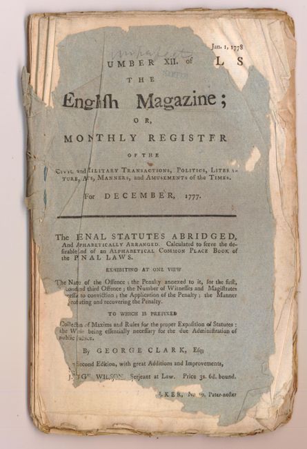
Publication: The English Magazine
Color: Black & White
Size:
6.5 x 9.5 inches
16.5 x 24.1 cm
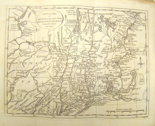
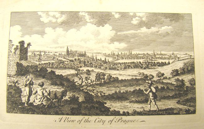
A very uncommon Revolutionary War period map focused on the Northeast from Pennsylvania to New Hampshire, centered on the Hudson and Connecticut rivers. The map is engraved by John Lodge and displays some unusual colonial borders. New Hampshire extends to Lake Champlain and Pennsylvania's northern border is about a degree further north than its present boundary. Fort George and Frederick are noted as are several Indian settlements. The map is bound into the December 1777 English Magazine. Of primary interest apart from the map are 11 pages of military dispatches for the War in America and a full-page engraving of Prague. There are approximately 50 pages of text not in numbered order. This map was also used in William Russell’s The History of America in 1778. This is the only example we have seen from this source, and the accompanying contemporary article on the war is of particular importance.
References:
Condition: B+
Condition code is for the map. Nice early impression. There is some light scattered foxing and toning primarily in the margins, else very good. The magazine has tattered covers, but text is readable and the map and engraving are nicely protected.