Subject: Reference Books
Period: 1994-2005 (published)
Publication:
Color: Printed Color
Size:
12 x 16 inches
30.5 x 40.6 cm
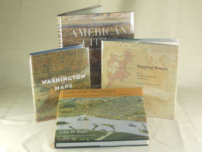
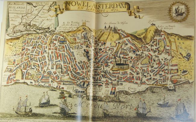
A) American Cities Historic Maps and Views, by Paul E. Cohen and Henry G. Taliferro, published 2005, printed color (12" x 16"). This book features nine of the largest metropolises in the US: Boston, New York, Philadelphia, Washington, D.C., New Orleans, St Louis, Chicago, Denver, and San Francisco. Leading map specialists have provided text to accompany the rare or previously unpublished maps and views of these great cities. The book has 207 pp., and is hard bound in brown paper, with illustrated dust jacket.
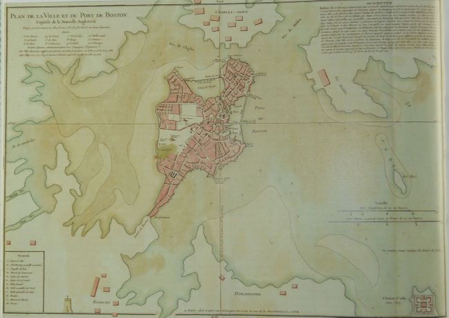
B) Mapping Boston, by Alex Krieger, published 1999, printed color (12" x 12"). This book was designed to bring together a collection of maps of Boston with the history of the great city and make them accessible to scholars and students everywhere. Maps of both Boston and the New England region are included, each accompanied by a description and short essay giving historical context. In addition, the book features seven essays that discuss the link between maps and history, including ones by Sam Bass Warner, Jr., Barbara McCorkle, David Bosse, and David Cobb. Edited by Alex Krieger, Chairman of the Department of Urban Planning and Design at the Harvard Graduate School of Design, Amy Turner, an architect, and David Cobb, Head of the Harvard Map Collection at the Harvard College Library, the book also contains a foreword by Norman B. Leventhal, who provided the maps from his collection. The book has 278 pp., and is hard bound in blue buckram, with illustrated dust jacket.
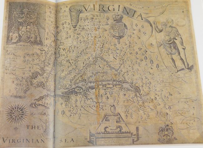
C) Washington in Maps 1606-2000, by Iris Miller, published 2002, printed color (9.3" x 11"). Iris Miller uses her skills as a professional landscape architect and urban planner to present a historical timeline of Washington, D.C. with the help of maps, letters, charts and other historical documentation. Spanning over four centuries, this book features about 80 maps and over a dozen illustrations, most in full color, from Thomas Jefferson, Pierre Charles L'Enfant, Captain John Smith, the Senate Park (McMillan) Commission and many others, as well as satellite images from modern times. Miller combines these images with fifty-two explanatory essays, drawing a connection between design intent and urban meaning from cartography. 176 pp., hard bound in blue cloth, with illustrated dust jacket.
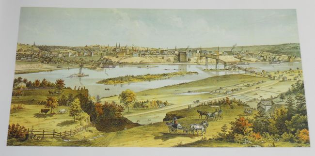
D) Cities of the Mississippi Nineteenth-Century Images of Urban Development, by John W. Reps, published 1994, printed color (13" x 10.5"). This fascinating reference book brings together historical bird's-eye views of towns along the Mississippi River with modern aerial photographs. Viewing these images side-by-side, combined with descriptive text, gives a unique insight into urban development in America in the nineteenth century. The book features towns both large and small including New Orleans, St. Louis, Minneapolis, Kaskaskia, Prairie du Chien, and Balize, near the mouth of the river. The book includes hundreds of illustrations, with over 140 in color, 342 pp., hard bound in green buckram, with illustrated dust jacket.
References:
Condition: A+