Subject: Hawaii
Period: 1917-1930 (dated)
Publication:
Color: Printed Color
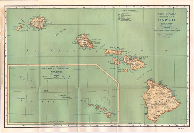
A. Rand McNally 14 X 21 Inch Map of Hawaii, by Rand, McNally, circa 1930. This handsome pocket map provides fairly good detail inland with towns and villages, counties, volcanoes and topography noted. The legend identifies eight railroads. Large inset shows a larger perspective, extending to Midway and Kure islands. The uncolored verso has a large map "Honolulu and Vicinity" drawn on a scale of 1:80,000 and extending to include Diamond Head and Waipahu. Below are the Index to Towns and Places that includes Districts and Counties, also Physical Features and Parks, and Railroads. Folds into gray paper covers (4.25" x 9.25") with fancy border on front and pictorial advertisement on back of their Globes and Atlases with a floor globe illustrated. The populations given are from 1930. Rand McNally pocket maps of Hawaii are scarce. Two small fold intersections splits in map. The coves are very nice with just some edge soiling or toning, otherwise fine. (A)
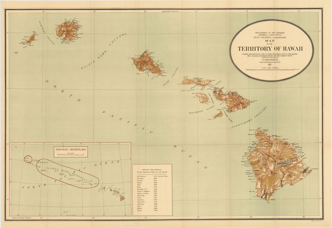
B. The Map of the Territory of Hawaii, 33" x 22", 1917. This large and colorful map was "compiled from data on file in the U.S. Coast and Geodetic Survey: Hydrographic Office: Hawaiian Government Surveys, and other authentic sources under the direction of I. P. Berthrong chief of drafting division." Beautifully colored including lithographic shading to suggest terrain. Published under the direction of the commissioner Clay Tallman. Large inset (12.5 x 7.5") at lower left gives a wider view of the entire archipelago and notes in red the Hawaiian Islands Bird Reservation. In 1904 Theodore Roosevelt established this huge reservation, which stretches between Nihoa to Kure Atoll with the exception of Midway. Table at bottom center lists the distances to the principle ports in the Pacific Ocean from Honolulu. Good detail on a scale of 1 inch = 12 miles. Blank verso. (A+)
References:
Condition:


