Catalog Archive
Auction 136, Lot 218

"Carte des Provinces Meridionales des Etats-Unis", Marshall, John

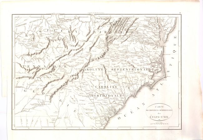
Subject: Southeastern United States

Period: 1807 (circa)

Publication:

Color: Black & White

Size:
19.8 x 13.5 inches
50.3 x 34.3 cm
Download High Resolution Image
(or just click on image to launch the Zoom viewer)

French edition of this interesting map that covers all of the Carolinas with parts of Virginia, Kentucky, Tennessee and Georgia. Between Tennessee and Georgia is a long strip of land labeled United States Territory. This land originally belonged to South Carolina but was ceded back to the United States in 1787. Numerous Indian villages are shown, especially in the region of present-day Alabama.

References:

Condition: A

Very faint offsetting in the image and one small rust spot, else fine. Binding trim at left. Issued folded now flat.

Estimate: $350 - $450

Sold for: $250

Closed on 6/1/2011

Archived