Catalog Archive
Auction 136, Lot 168

"States of America, from the best Authorities", Russell, John C.
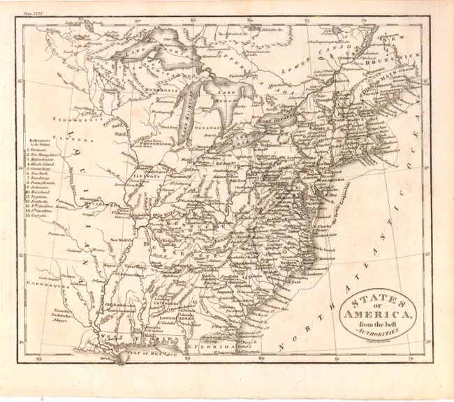
Subject: Eastern United States

Period: 1795 (circa)

Publication:

Color: Black & White

Size:
9 x 7.5 inches
22.9 x 19.1 cm
Download High Resolution Image
(or just click on image to launch the Zoom viewer)

Attractive small map of the young nation filled with a surprising amount of information. The map extends past the Mississippi River to show part of the new Louisiana Territory. Georgia's western boundary is the Mississippi and West Florida takes in the coastal region from the Chattahotcha River to the Mississippi River. Indian tribes are prominently named in the western territories. Key at left refers to 15 states, which does not include Tennessee, although it is shown on the map. The Twenty League Line is depicted off the east coast.

References:

Condition: A

Some isolated faint toning, else fine.

Estimate: $140 - $180

Sold for: $90

Closed on 6/1/2011

Archived