Subject: Atlases
Period: 1870 (published)
Publication:
Color: Hand Color
Size:
15 x 19 inches
38.1 x 48.3 cm
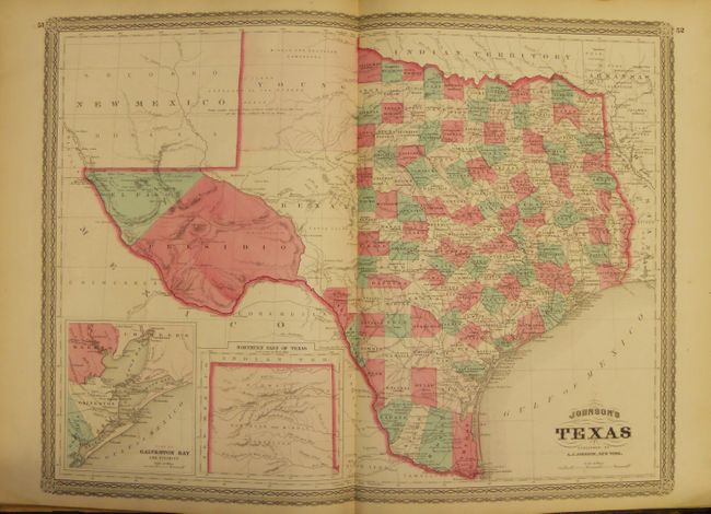
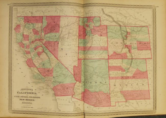
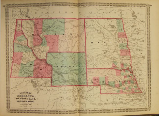
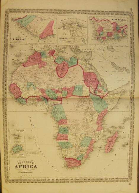
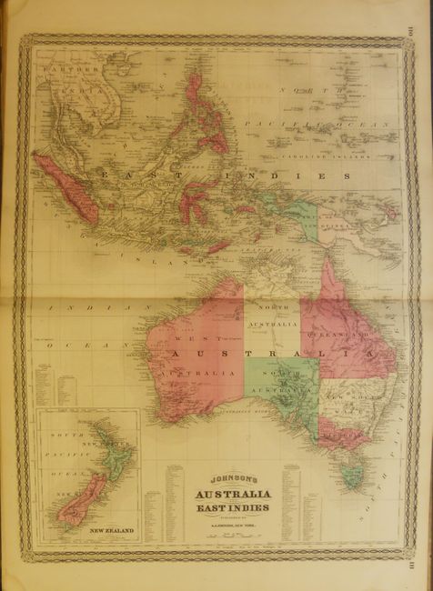
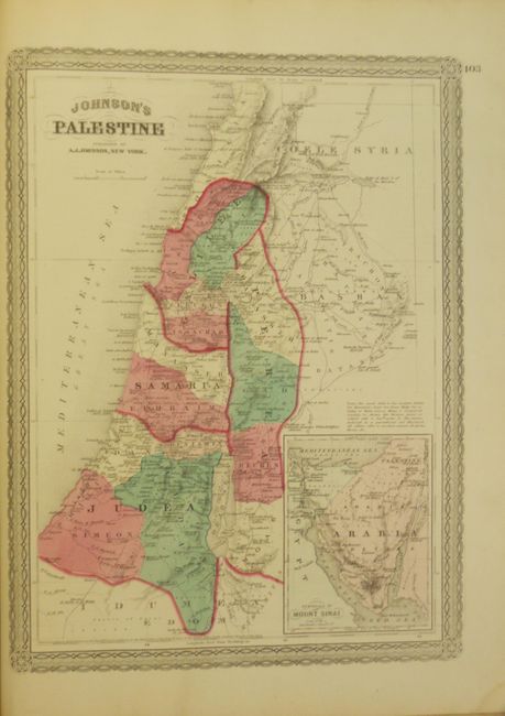
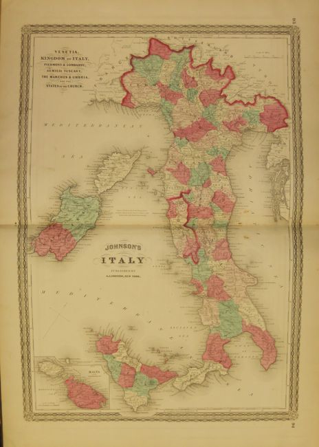
Large folio atlas with all maps and text present. This is a less common later edition with the newly engraved maps featuring a lace-like border. Contains three colorful thematic maps and charts including an uncommon length of rivers and height of mountains chart, and a great double-page "New Chart of National Emblems," and a very colorful set of national flags. Also contains the Civil War "Map of the Vicinity of Richmond and Peninsular Campaign in Virginia," a nice double-page map of Texas and the large "California, also Utah, Nevada, Colorado, New Mexico and Arizona" map. With all called-for maps including 59 double-page and 3 single-page sheets. With an additional unnumbered double-page map of Minnesota not called for in list of maps and dated 1869. Hardbound in presentation full leather with full tooling and embossed gilt title and the Seal of the United States on front cover, T.E.G.
References:
Condition: A
Binding with shelf wear and abrasion to edges and tips. Frontis cracked at spine with long tear closed on verso. First free end paper loose and chipped at edge. Four inch tear in Southwest map along side fold at bottom. The vast majority of maps are very good or fine with strong impression and color on sound paper. A couple sheets near the front may be more like B+. The time diagram torn nearly in half with an old cello tape repair and stain.