Subject: Atlases
Period: 1862 (dated)
Publication:
Color: Hand Color
Size:
15 x 18.6 inches
38.1 x 47.2 cm
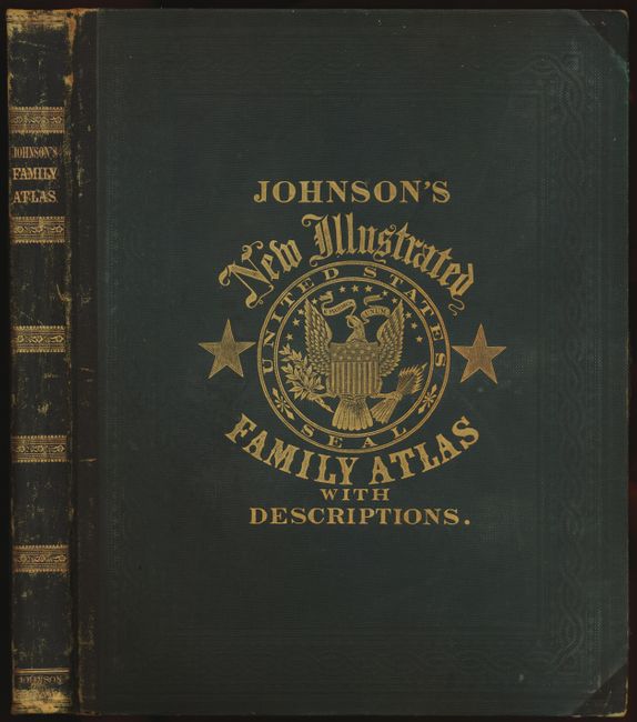
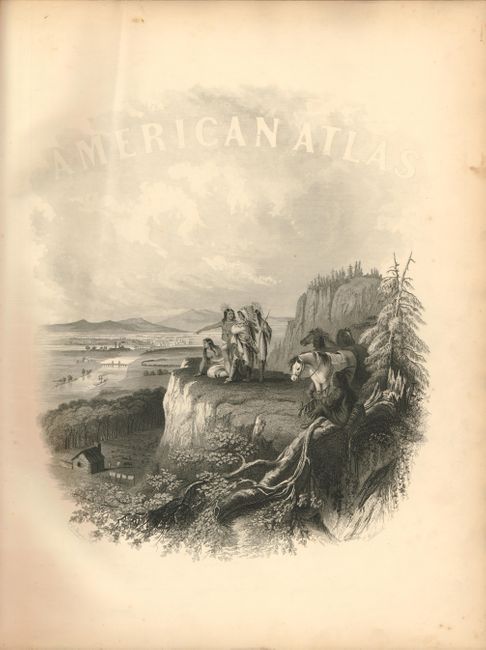
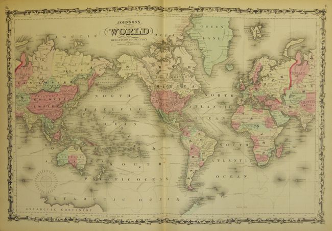
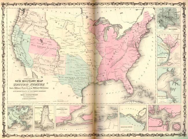
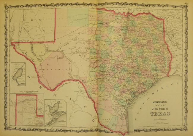
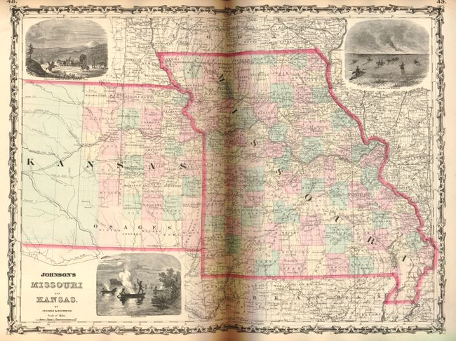
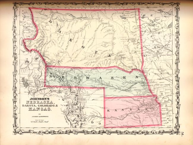
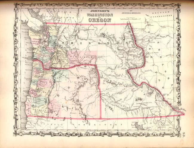
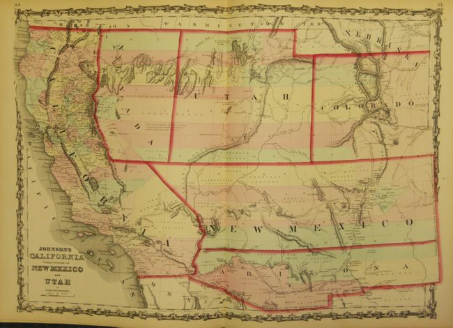
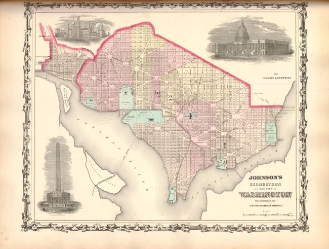
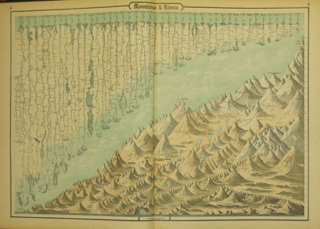
This is the early 1862 edition published by Johnson & Browning; a later, and different, 1862 edition was produced by Johnson and Ward. It includes the first issue of New Military Map of the United States to show the Military Districts instead of state and territory boundaries. It also includes the fabulous California Territories of New Mexico and Utah map that shows the Proposed Territory of Nevada with its western border encroaching into California, and the Confederate Territory of Arizona. The Nebraska, Dakota, Colorado & Kansas map shows Dakota and Nebraska territories extending to the Rocky Mountains, with a newly created Colorado Territory with its western boundary not yet delineated. The map of Washington and Oregon shows Washington Territory wrapped around Oregon incorporating what would become Idaho. It also includes the beautiful comparative river and mountains plate and the thematic time and distance sheet. The frontispiece is a beautifully engraved and poignant scene depicting a group of Native Americans over-looking a rapidly developing river valley. Many of the maps feature engraved vignettes and all are enclosed in the strapwork borders. Complete with the 59 steel plate maps in the List of Maps, plus 3 unnumbered and not listed (Military Map of the United States, Washington D.C., and Russia); 62 total. Original quarter calf over green cloth covers embossed with gold titles, and marbled endpapers.
References: Phillips (A) #837.
Condition: A
Map and text very good to fine with lightly toned margins and a few minor spots. Binding tight with minimal shelf wear and a small split in cloth on front cover.