Catalog Archive
Auction 135, Lot 674

"The Sunda Islands vitz Borneo, Sumatra and Iava &c. Agreable to Modern History", Moll, Herman

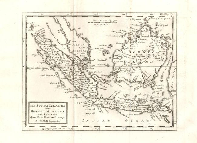
Subject: East Indies - Indonesia

Period: 1730 (circa)

Publication:

Color: Black & White

Size:
10 x 8 inches
25.4 x 20.3 cm
Download High Resolution Image
(or just click on image to launch the Zoom viewer)

This heavily engraved chart covers the western portion of the East Indies to include Sumatra, Borneo, Java and the southern portion of the Malaysian peninsula. In Sumatra the map locates the Ache region, Palembang, Batahan, Padang and the famous textile center of Lampung. In Java, Jakarta is Batavia and Palembang is erroneously added in the east. Extends to include Bali, Lambok, Sumbawa and part of the Celebes, which extend off the map into the border. The Straits of Sincapora (Singapore) and the Malacca are named. Distance scale of British Miles.

References:

Condition: A+

Beautiful, dark impression with original, wide margins on a sheet of hand laid paper.

Estimate: $250 - $300

Sold for: $210

Closed on 2/16/2011

Archived