Catalog Archive
Auction 135, Lot 635

"Charte das Russische Reich und die von den Tatarn Bewohnte Lander in Europa und Asia Enthaltend…", Gussefeld/Homann Heirs

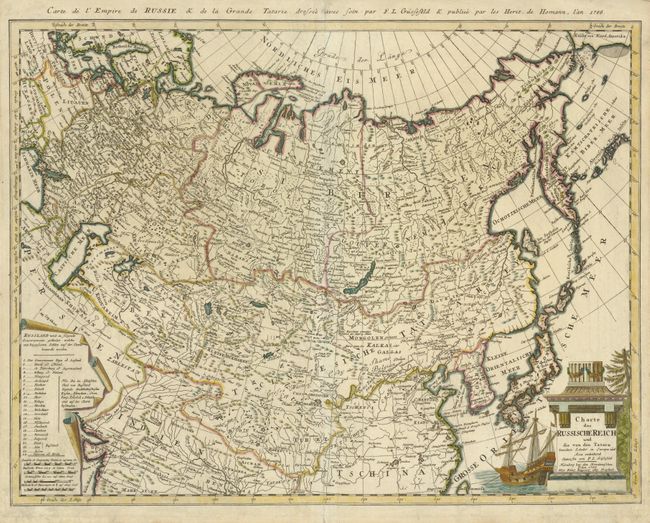
Subject: Northern Asia

Period: 1786 (dated)

Publication:

Color: Hand Color

Size:
23.5 x 18 inches
59.7 x 45.7 cm
Download High Resolution Image
(or just click on image to launch the Zoom viewer)

This expansive map of the Russian Empire extends to show China, Korea (Corea), and Japan and delineates the Great Wall. The lovely cartouche features a three-masted ship. A scroll-like inset lists names of 24 regions keyed to the map. French title above top border, "Carte de l'Empire de Russie & de la Grande Tatarie…"

References:

Condition: B+

The centerfold has been reinforced and there is some minor surface soil in the margins.

Estimate: $300 - $375

Unsold

Closed on 2/16/2011

Archived