Subject: Greece, Aegean Sea and Turkey
Period: 1715-1850
Publication:
Color: Hand Color
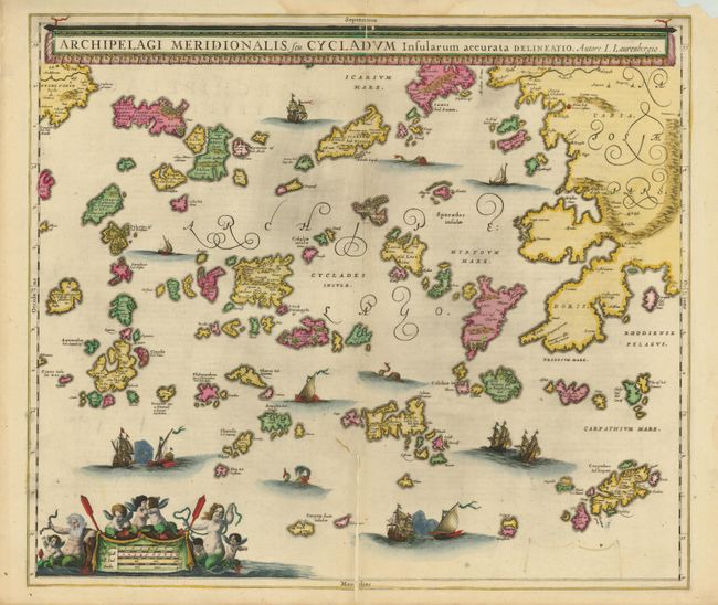
1) Archipelagi Meridionalis, seu Cycladum Insularum accurata Delineatio, Jan Jansson, published by Renard in 1715, (21.5 x 18.6"). This beautiful chart is attributed to the historian and mathematician Johannes Wilhelm Lauremberg. It covers the Southern Aegean Islands with the adjacent coastlines of mainland Greece and Turkey. The title is across the top in an unusual curtain-style cartouche. A fine impression with original color, highlighted in gold leaf. There is a four-inch split along lower centerfold with a one-inch trailing tear, which is closed on verso with old paper. (C+)
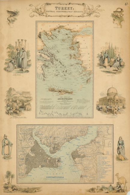
2) Turkey; Central Mediterranean Regions, A. Fullarton, from the Royal Illustrated Atlas, circa 1850, (11.5 x 18"). Two maps, engraved by G.H. Swanston are presented on this sheet surrounded by vignettes in Fullarton's decorative style. The Grecian Archipelago according to the English Admiralty Survey - 1828-1849is at top. And the very detailed plan Constantinople According to the Survey of Dufour and Admiralty Charts is at bottom. The vignettes include a Mecca Caravan; Night Scene on the Desert; Lady of the Harem; Grand Mosque of Omar; the Arepagus or Mars Hill, and a Dervish. A little surface soil and a few edge tears. The lower margin is trimmed just to vignette titles, as issued. (B)
References:
Condition:
See individual descriptions.