Catalog Archive
Auction 135, Lot 502

"Carte de la Prevoste et Vicomte de Paris…", Delisle/Buache

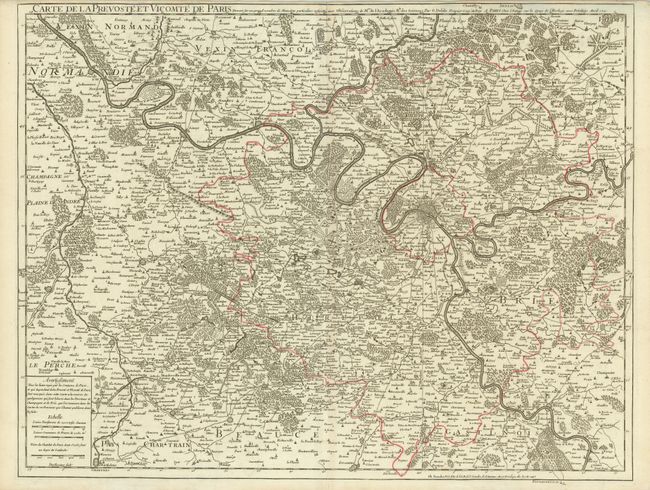
Subject: Paris, France

Period: 1745 (dated)

Publication:

Color: Hand Color

Size:
25.4 x 19.6 inches
64.5 x 49.8 cm
Download High Resolution Image
(or just click on image to launch the Zoom viewer)

This is an extremely detailed map of the vicinity of Paris covering from Gaillon to Meaux in the north, and from St. Barthelemy to Fontainebleau in the south. The information contained includes rivers, streams, canals, aqueducts, forests, estates, roads, bridges, cities, villages, churches, fortresses, abbeys, vineyards, etc. First published in 1711, this is the 1745 updated version published by Buache.

References:

Condition: A

Sparse original outline color with a bit of very faint toning. Narrow top margin, as issued.

Estimate: $240 - $300

Sold for: $180

Closed on 2/16/2011

Archived